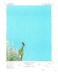
1970 Map of Beechey Point B-2 SE
USGS Topo · Published 1974About this map
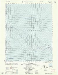
Point Brower projects into the cold waters of the Beaufort Sea on this orthophotomap, showing the Arctic coastline just as industrial interest was intensifying in the North Slope region. The landscape is dominated by the intricate delta of the Sagavanirktok River, where braided channels meet the Foggy Island Bay. A small human footprint is evident at the tip of the point, marked by a single Tank and the remains of Cabins (Ruins), suggesting earlier coastal habitation or seasonal use. Away from the shore, the map identifies a Winter trail, a critical infrastructure element in a region where travel is often dictated by the freezing of the tundra. This document serves as a specialized record of the transition from traditional coastal sites to modern resource exploration footprints during the early 1970s.
Find a feature on this map
7 named features on this map. Tap any name to fly to it.
Don’t see what you’re looking for? This feature index may not catch every label — zoom into the map to look around manually.
Map Details
Editions of this 1970 Beechey Point B-2 SE Map
3 editions found
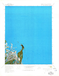
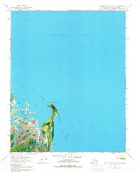
Other maps of this area

1951 · Beechey Point
USGS Topo · 1:250,000

1955 · Beechey Point
USGS Topo · 1:250,000

1955 · Beechey Point B-2
USGS Topo · 1:63,360

1955 · Beechey Point B-1
USGS Topo · 1:63,360

1955 · Beechey Point A-1
USGS Topo · 1:63,360

1955 · Beechey Point A-2
USGS Topo · 1:63,360

1960 · Beechey Point
USGS Topo · 1:250,000
1962 · Beechey Point A-1
USGS Topo · 1:50,000

1962 · Beechey Point B-2
USGS Topo · 1:50,000
1962 · Beechey Point B-1
USGS Topo · 1:50,000