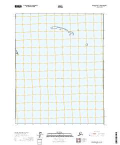
2017 Map of Beechey Point B-3 NE
USGS Topo · Published 2017About this map
Beaufort Sea waters dominate this coastal Arctic landscape, where a series of barrier islands trace the northern edge of the Alaskan territory. The landforms here are sparse, defined by remote features like Reindeer Island, the Midway Islands, and the small outcrop of Argo Island. These features serve as critical navigational markers along the northern coast of Alaska.
Find a feature on this map
8 named features on this map. Tap any name to fly to it.
Don’t see what you’re looking for? This feature index may not catch every label — zoom into the map to look around manually.
Map Details
Editions of this 2017 Beechey Point B-3 NE Map
This is the sole edition of this map. No revisions or reprints were ever made.
Other maps of this area

1951 · Beechey Point
USGS Topo · 1:250,000

1955 · Beechey Point
USGS Topo · 1:250,000

1955 · Beechey Point B-2
USGS Topo · 1:63,360

1955 · Beechey Point B-3
USGS Topo · 1:63,360

1960 · Beechey Point
USGS Topo · 1:250,000

1962 · Beechey Point B-2
USGS Topo · 1:50,000

1964 · Beechey Point
USGS Topo · 1:250,000
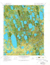
1970 · Beechey Point B-3 SW
USGS Topo · 1:24,000
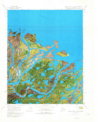
1970 · Beechey Point B-2 SW
USGS Topo · 1:24,000
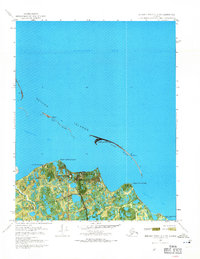
1970 · Beechey Point B-3 NW
USGS Topo · 1:24,000