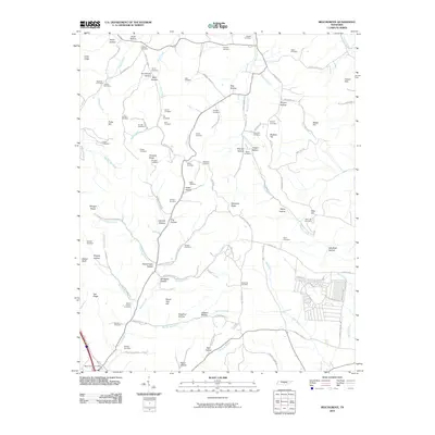
2010 Map of Beechgrove
USGS Topo · Published 2010About this map
Beech Grove Post Office sits at the southwestern edge of this landscape, where the Garrison Fork meets the modern path of Interstate 24. The terrain is a complex network of ridges and hollows, including Teal Ridge and Robinson Ridge, which separate the headwaters of the Duck River from several smaller drainage branches. A dense concentration of family and community burial grounds, such as the Donnell Cemetery, Thyatira Cemetery, and Gilley Hill Cemetery, suggests a long history of rural settlement and local genealogy. Movement through this portion of Coffee County is defined by winding roads that follow the natural topography of places like Armstrong Hollow and Jernigans Hollow. This survey captures the rural character of the area just before the turn of the decade, showing established farms and small residential clusters near Gilly Hill and Carson Hills.
Find a feature on this map
103 named features on this map. Tap any name to fly to it.
Don’t see what you’re looking for? This feature index may not catch every label — zoom into the map to look around manually.
Map Details
Editions of this 2010 Beechgrove Map
This is the sole edition of this map. No revisions or reprints were ever made.
Other maps of this area

1908 · Woodbury
USGS Topo · 1:62,500

1913 · Hollow Springs
USGS Topo · 1:62,500

1916 · Murfreesboro
USGS Topo · 1:62,500

1936 · Webbs Jungle
USGS Topo · 1:24,000

1936 · Fredonia
USGS Topo · 1:24,000

1936 · Beech Grove
USGS Topo · 1:24,000

1936 · Petty Gap
USGS Topo · 1:24,000

1936 · Noah
USGS Topo · 1:24,000

1936 · Wartrace
USGS Topo · 1:24,000

1942 · Statesville
USGS Topo · 1:100,000