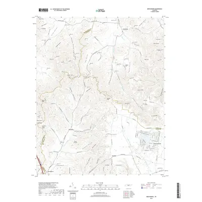
2019 Map of Beechgrove
USGS Topo · Published 2019About this map
Beechgrove and Gossburg anchor the southern reaches of this landscape, situated along the complex intersection of Rutherford, Cannon, Coffee, and Bedford counties. The terrain is defined by the Tennessee Valley Divide, where numerous hollows like Jacob Hollow and Possumpaw Hollow carve through the high ridges of the Highland Rim. A dense network of family cemeteries, such as Thyatira Cem, Hopewell Cem, and Donnell Cem, are scattered across the hills, offering a detailed record of the rural families who settled this area between Bradyville and the headwaters of the Duck River. To the east, the development of Lakewood Park provides a contrast to the older agricultural patterns, featuring a concentration of residential roads such as Lakeshore Dr and Vista Dr near the winding course of Perry Cr.
Find a feature on this map
159 named features on this map. Tap any name to fly to it.
Don’t see what you’re looking for? This feature index may not catch every label — zoom into the map to look around manually.
Map Details
Editions of this 2019 Beechgrove Map
This is the sole edition of this map. No revisions or reprints were ever made.
Other maps of this area

1908 · Woodbury
USGS Topo · 1:62,500

1913 · Hollow Springs
USGS Topo · 1:62,500

1916 · Murfreesboro
USGS Topo · 1:62,500

1936 · Webbs Jungle
USGS Topo · 1:24,000

1936 · Fredonia
USGS Topo · 1:24,000

1936 · Beech Grove
USGS Topo · 1:24,000

1936 · Petty Gap
USGS Topo · 1:24,000

1936 · Noah
USGS Topo · 1:24,000

1936 · Wartrace
USGS Topo · 1:24,000

1942 · Statesville
USGS Topo · 1:100,000