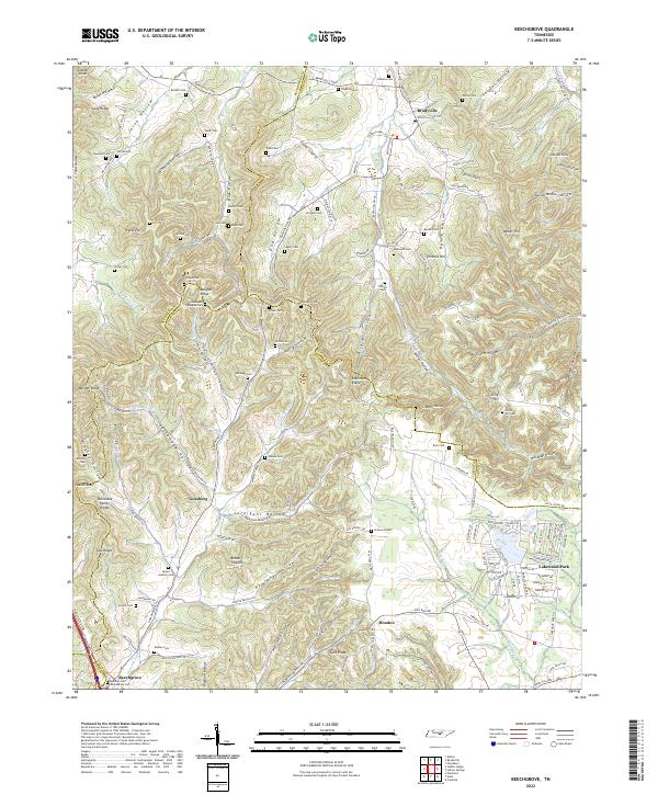
2022 Map of Beechgrove
USGS Topo · Published 2022About this map
Beech Grove Confederate Cem sits near the headwaters of the Garrison Fork, marking a landscape deeply rooted in Tennessee history where the borders of Coffee, Cannon, Rutherford, and Bedford counties converge. This highland region is defined by a dense network of family-named hollows and ridges, such as Bynum Hollow and Douglas Ridge, which historically dictated the placement of small rural settlements like Gossburg and Hoodoo. The map reveals a high concentration of pioneer and family burial grounds, including the Thyatira Cem and Green and Douglas Cem, which serve as vital markers for genealogical research in this part of the Highland Rim.
Find a feature on this map
155 named features on this map. Tap any name to fly to it.
Don’t see what you’re looking for? This feature index may not catch every label — zoom into the map to look around manually.
Map Details
Editions of this 2022 Beechgrove Map
This is the sole edition of this map. No revisions or reprints were ever made.
Other maps of this area

1908 · Woodbury
USGS Topo · 1:62,500

1913 · Hollow Springs
USGS Topo · 1:62,500

1916 · Murfreesboro
USGS Topo · 1:62,500

1936 · Webbs Jungle
USGS Topo · 1:24,000

1936 · Fredonia
USGS Topo · 1:24,000

1936 · Beech Grove
USGS Topo · 1:24,000

1936 · Petty Gap
USGS Topo · 1:24,000

1936 · Noah
USGS Topo · 1:24,000

1936 · Wartrace
USGS Topo · 1:24,000

1942 · Statesville
USGS Topo · 1:100,000