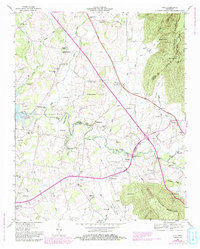
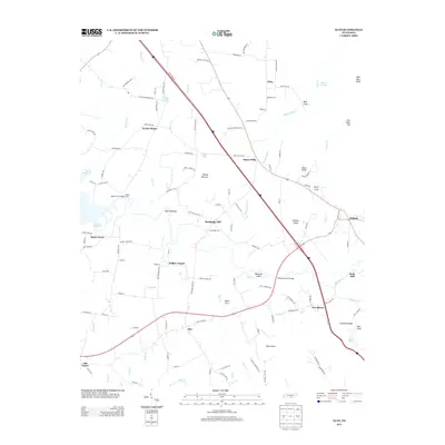
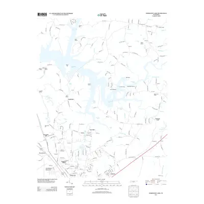
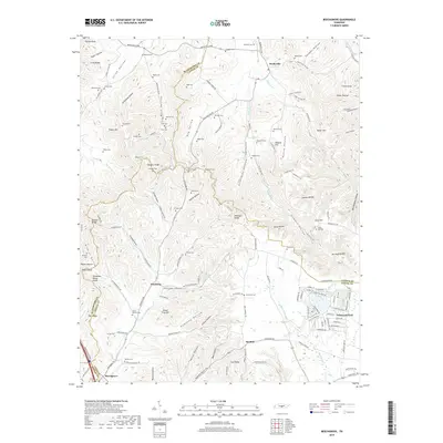
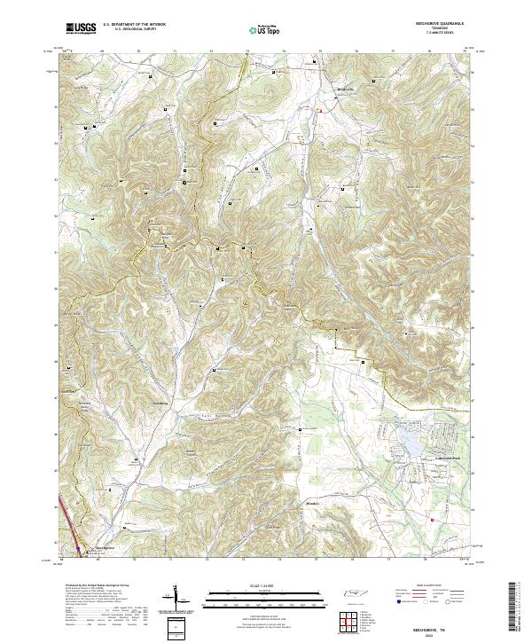
1953 Map of Beechgrove
USGS Topo · Published 1981About this map
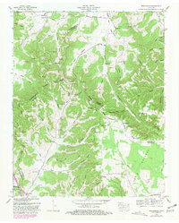
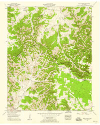
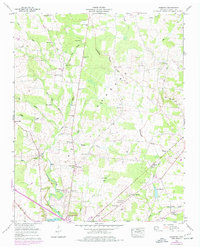
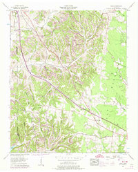
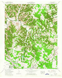
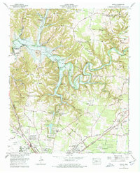
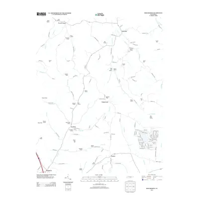
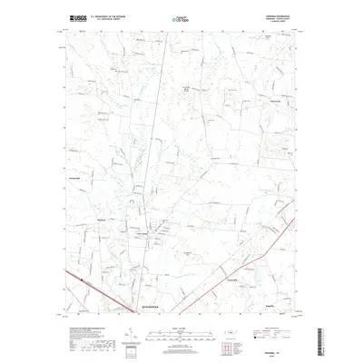
Bradyville and Donnel Chapel anchor the northern landscape of this mid-century survey, where the Rutherford Co Cannon Co line crosses the Bradyville Pike. The terrain is defined by a dense network of hollows and ridges, including Long Ridge and Douglas Ridge, which historically dictated the paths of travel and the location of rural community life. Small family cemeteries like Bowman Cem, Harrell Cem, and Mt Hebron Cem are scattered throughout the ridges, offering significant data for genealogical researchers tracing early residents of the Barrens and the surrounding valleys.
Find a feature on this map
83 named features on this map. Tap any name to fly to it.
Don’t see what you’re looking for? This feature index may not catch every label — zoom into the map to look around manually.
Map Details
Editions of this 1953 Beechgrove Map
2 editions found
Historical Maps of Hoodoo Through Time
40 maps found
1913 Hollow Springs
Coffee County, TN

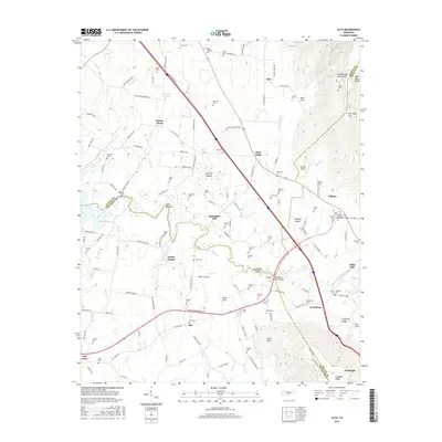
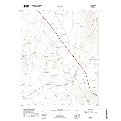
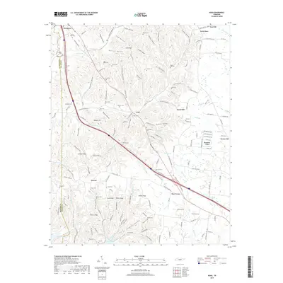
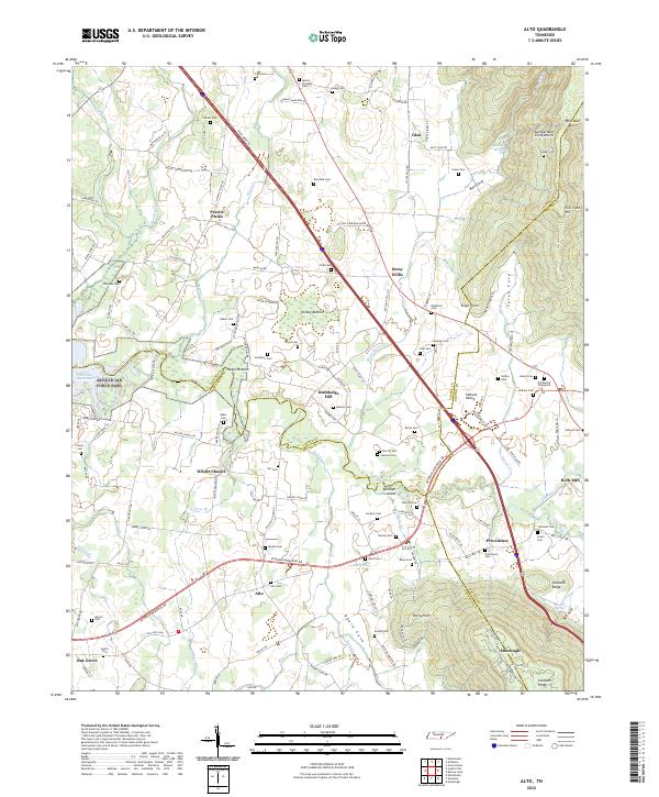
1936 Alto
Coffee County, TN
1936 Beech Grove
Coffee County, TN

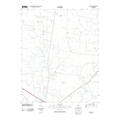
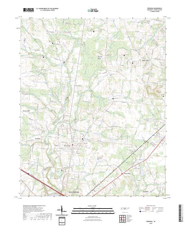
1936 Fredonia
Coffee County, TN

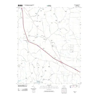
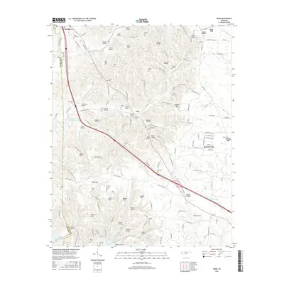
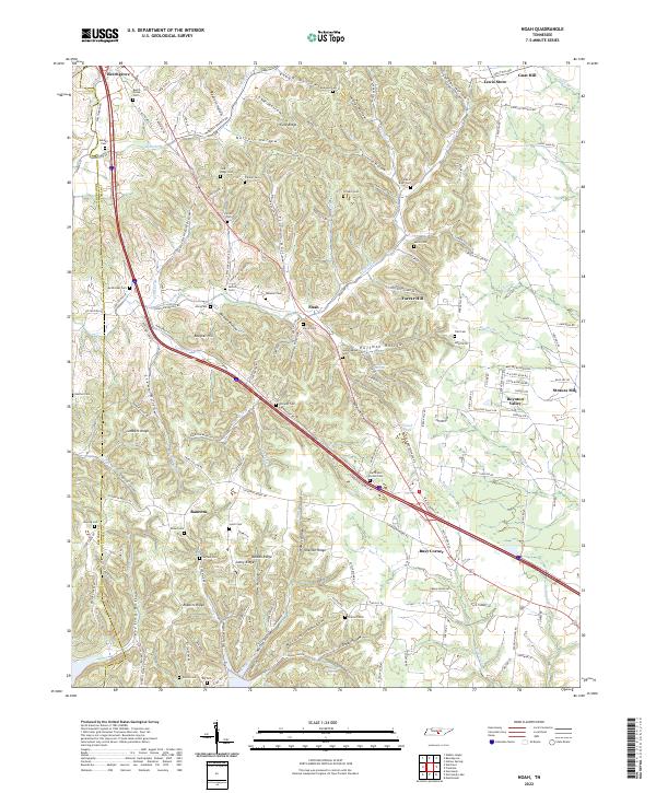
1936 Noah
Coffee County, TN

1936 Ovoca
Coffee County, TN

1941 Ovoca
Coffee County, TN
1947 Alto
Coffee County, TN
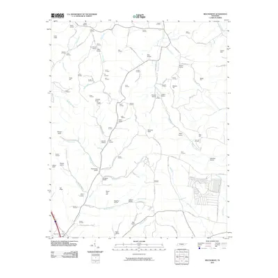
1953 Beechgrove
Coffee County, TN
1956 Fredonia
Coffee County, TN
1956 Noah
Coffee County, TN
1962 Ovoca
Coffee County, TN
1972 Ovoca
Coffee County, TN
1976 Noah
Coffee County, TN
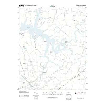
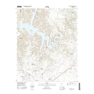
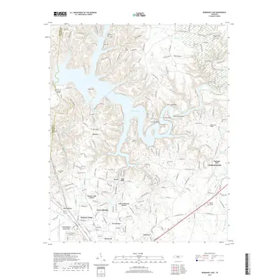
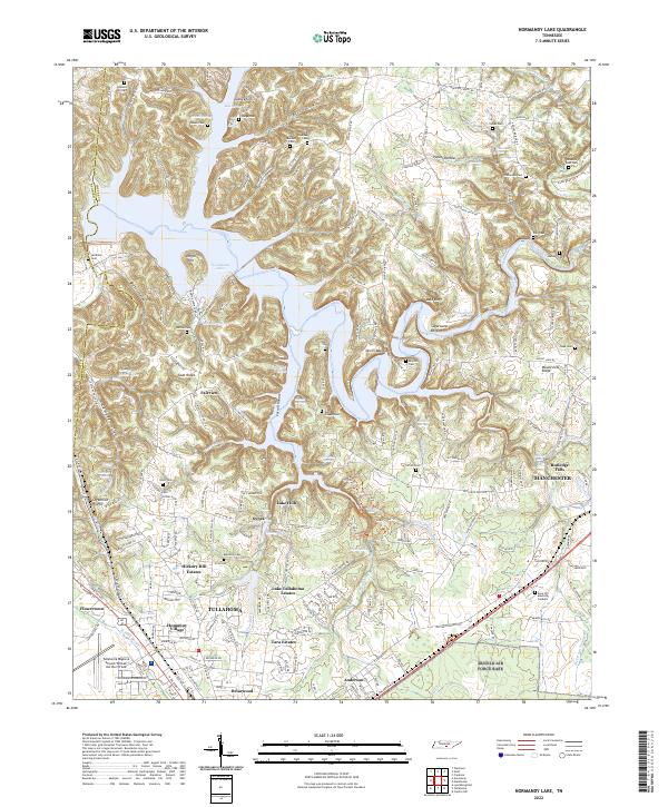
1976 Normandy Lake
Coffee County, TN
2010 Alto
Coffee County, TN
2010 Beechgrove
Coffee County, TN
2010 Fredonia
Coffee County, TN
2010 Noah
Coffee County, TN
2010 Normandy Lake
Coffee County, TN
2013 Alto
Coffee County, TN
2013 Beechgrove
Coffee County, TN
2013 Fredonia
Coffee County, TN
2013 Noah
Coffee County, TN
2013 Normandy Lake
Coffee County, TN
2016 Alto
Coffee County, TN
2016 Beechgrove
Coffee County, TN
2016 Fredonia
Coffee County, TN
2016 Noah
Coffee County, TN
2016 Normandy Lake
Coffee County, TN
2019 Alto
Coffee County, TN
2019 Beechgrove
Coffee County, TN
2019 Fredonia
Coffee County, TN
2019 Noah
Coffee County, TN
2019 Normandy Lake
Coffee County, TN
2022 Alto
Coffee County, TN
2022 Beechgrove
Coffee County, TN
2022 Fredonia
Coffee County, TN
2022 Noah
Coffee County, TN
2022 Normandy Lake
Coffee County, TN