
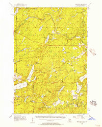
1956 Map of Beechwood
USGS Topo · Published 1957About this map
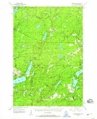
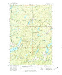
The Chicago and North Western railway cuts through this northern lake country, connecting small timber-era outposts like Elmwood, Basswood, and Beechwood in the mid-1950s. This survey spans the state line between Iron County, Michigan, and the northern reaches of Forest and Vilas Counties in Wisconsin, where the Ottawa National Forest meets the Nicolet National Forest. The landscape is a dense network of water bodies and timber resources, represented by sites like the University of Michigan Forestry Camp and fire-watch stations including the Golden Lake Lookout Tower. Local institutional life is anchored by the Beechwood Ch and the remote Elvoy Sch near the settlement of Elvoy. The numerous named lakes, from James Lake to the large Smoky Lake on the border, suggest a region defined by its hydrology and the early development of Northwoods recreation alongside its industrial forestry roots.
Find a feature on this map
80 named features on this map. Tap any name to fly to it.
Don’t see what you’re looking for? This feature index may not catch every label — zoom into the map to look around manually.
Map Details
Editions of this 1956 Beechwood Map
4 editions found
Other maps of this area

1895 · Perch Lake
USGS Topo · 1:62,500

1898 · Iron River
USGS Topo · 1:62,500

1928 · Three Lakes
USGS Topo · 1:48,000

1938 · Phelps
USGS Topo · 1:48,000

1938 · Alvin
USGS Topo · 1:48,000

1938 · Three Lakes
USGS Topo · 1:48,000

1939 · Long Lake
USGS Topo · 1:48,000

1944 · Iron River
USGS Topo · 1:24,000

1945 · Gibbs City
USGS Topo · 1:24,000

1945 · Three Lakes
USGS Topo · 1:48,000