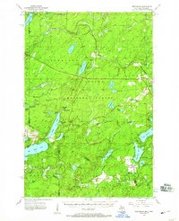
1956 Map of Beechwood
USGS Topo · Published 1959About this map
The boundary between Michigan and Wisconsin defines this 1950s landscape, where the Paint River and its various branches weave through the dense timberlands of the Ottawa National Forest and Nicolet National Forest. Small settlements such as Beechwood and Elmwood are situated along the rail corridor of the Chicago and North Western, which served the region's logging and mining interests. The map captures a moment of active forest management and academic study, evidenced by the University of Michigan Forestry Camp on Golden Lake and fire monitoring stations like the Golden Lake Lookout Tower. Further south, the community of Nelma sits near the Brule Lookout Tower and the Elvoy Sch, marking the rural infrastructure of the era. The terrain is defined by an intricate network of water bodies, from Smoky Lake to Tamarack Lake, connected by named runs and creeks like Cooks Run and McAllister Creek.
Find a feature on this map
82 named features on this map. Tap any name to fly to it.
Don’t see what you’re looking for? This feature index may not catch every label — zoom into the map to look around manually.
Map Details
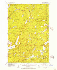
Editions of this 1956 Beechwood Map
4 editions found

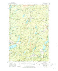
Other maps of this area

1895 · Perch Lake
USGS Topo · 1:62,500

1898 · Iron River
USGS Topo · 1:62,500

1928 · Three Lakes
USGS Topo · 1:48,000

1938 · Phelps
USGS Topo · 1:48,000

1938 · Alvin
USGS Topo · 1:48,000

1938 · Three Lakes
USGS Topo · 1:48,000

1939 · Long Lake
USGS Topo · 1:48,000

1944 · Iron River
USGS Topo · 1:24,000

1945 · Gibbs City
USGS Topo · 1:24,000

1945 · Three Lakes
USGS Topo · 1:48,000