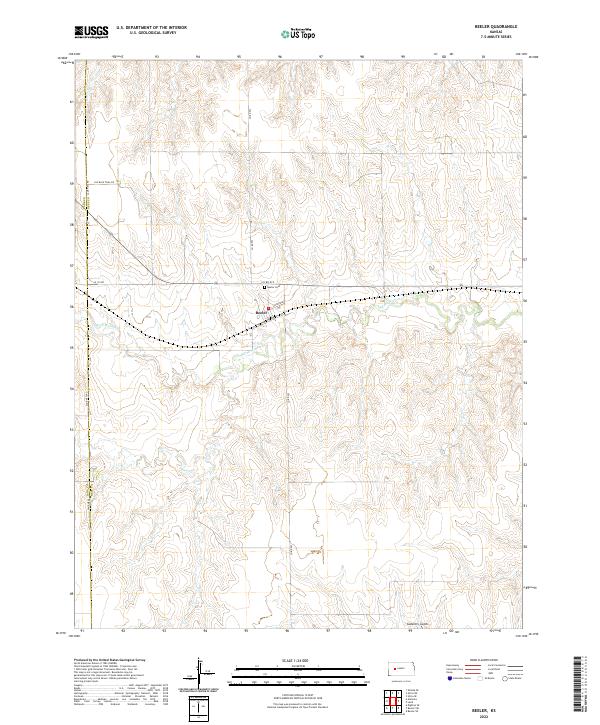
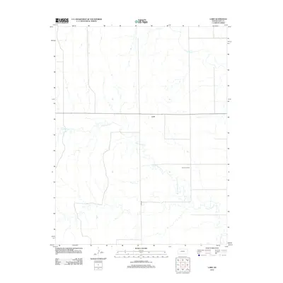
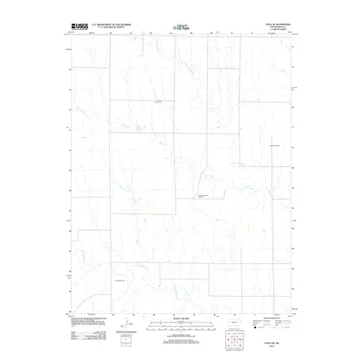
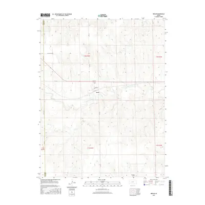
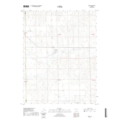
2022 Map of Beeler
USGS Topo · Published 2022About this map
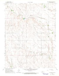
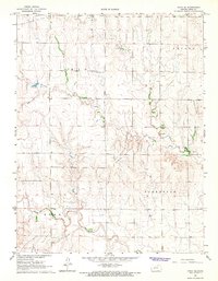
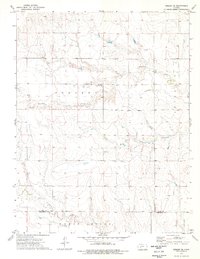
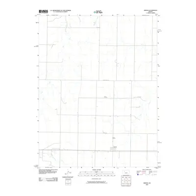
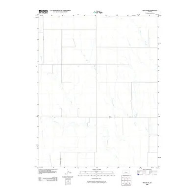
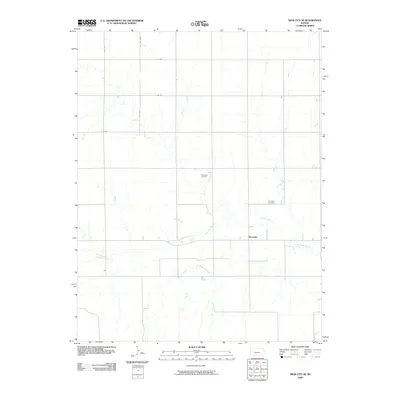
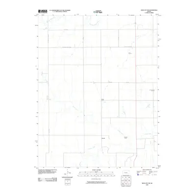
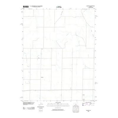
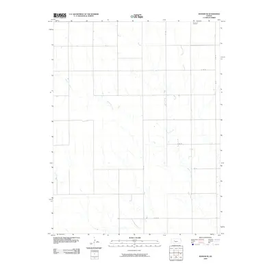
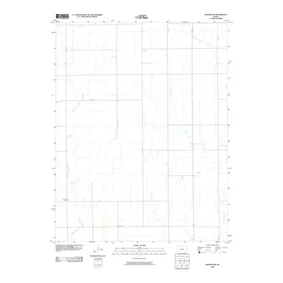
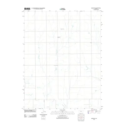
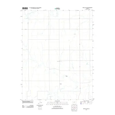
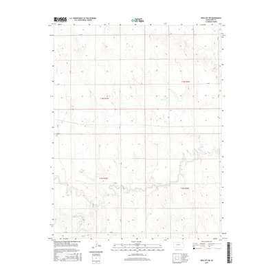
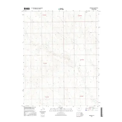
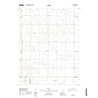
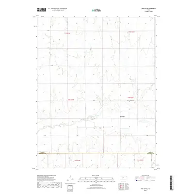
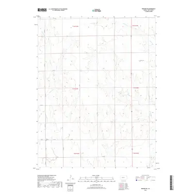
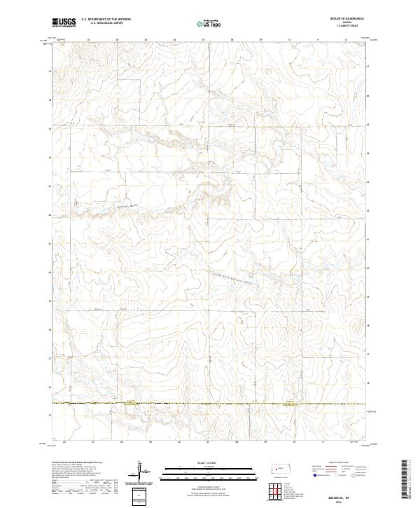
Beeler sits as the central point of this high plains landscape, situated at the junction of Broadway and Co Rd 523. This small settlement, along with the nearby Beeler Cem, reflects the long-standing agricultural community in western Kansas. The drainage of S Fork Walnut Cr and its tributaries like Darr Cr define the local topography, carving shallow valleys through the expansive prairie. Historically significant routes like Old Blue Trail Rd and the Lane-Ness Rd delineate the township lines and county boundaries, showing the rigid grid system that organized this portion of Lane and Ness Counties. The presence of named landmarks such as Guzzlers Gulch provides a look into the local vernacular and the way early residents identified specific terrain features in a seemingly uniform environment.
Find a feature on this map
17 named features on this map. Tap any name to fly to it.
Don’t see what you’re looking for? This feature index may not catch every label — zoom into the map to look around manually.
Map Details
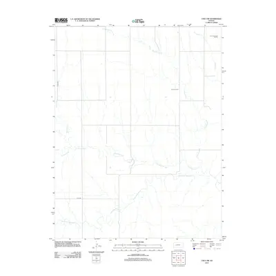
Editions of this 2022 Beeler Map
This is the sole edition of this map. No revisions or reprints were ever made.
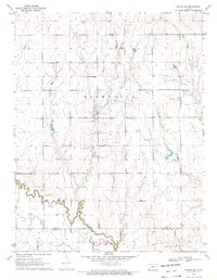
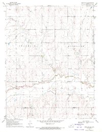
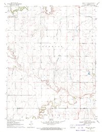
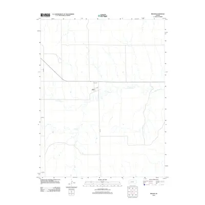
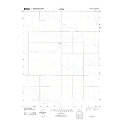
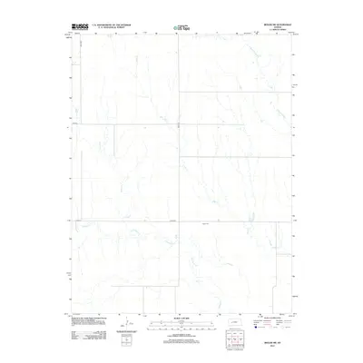
Historical Maps of Beeler Through Time
90 maps found
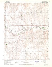
1965 Beeler
Ness County, KS
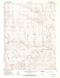
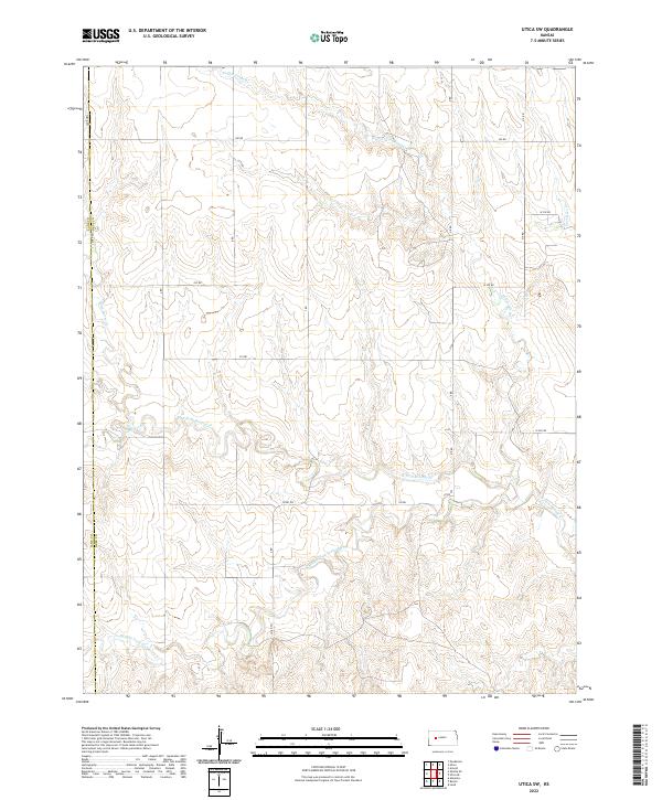
1965 Utica SW
Ness County, KS
1966 Laird
Ness County, KS
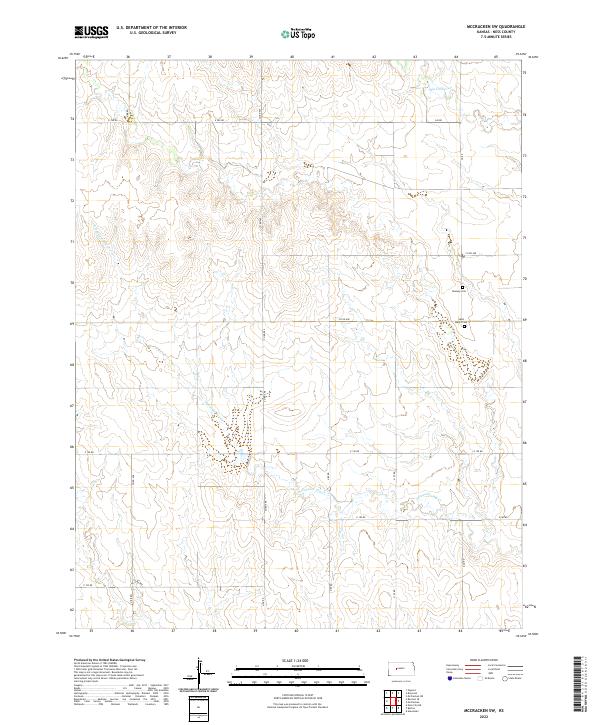
1966 Mc Cracken SW
Ness County, KS
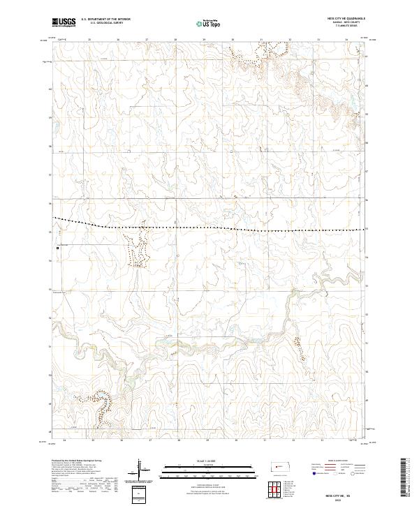
1966 Ness City NE
Ness County, KS
1966 Ransom SE
Ness County, KS
1966 Ransom SW
Ness County, KS
1966 Utica SE
Ness County, KS
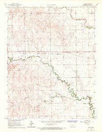
1970 Bazine SW
Ness County, KS
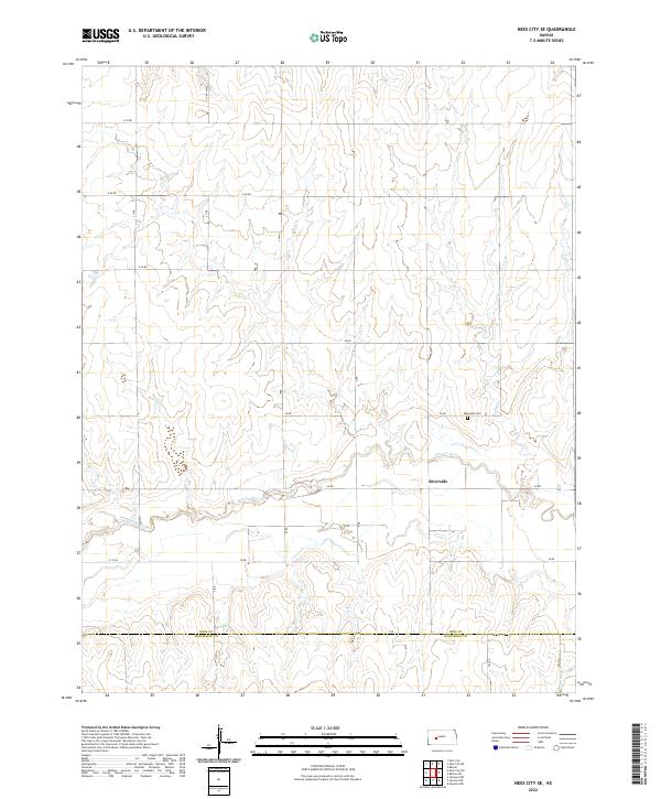
1970 Ness City SE
Ness County, KS
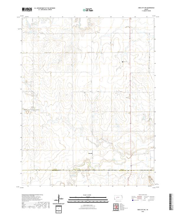
1970 Ness City SW
Ness County, KS
1974 Beeler SE
Ness County, KS
1974 Beeler SW
Ness County, KS
1980 Osgood
Ness County, KS
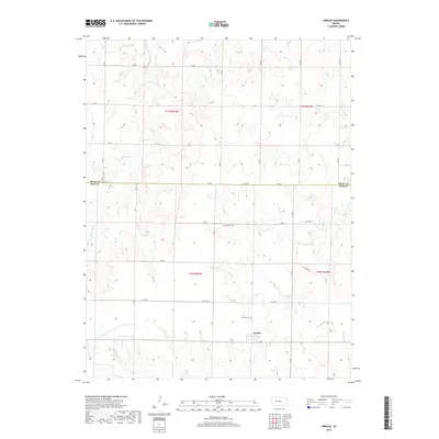
1981 Arnold
Ness County, KS
2009 Arnold
Ness County, KS
2009 Bazine SW
Ness County, KS
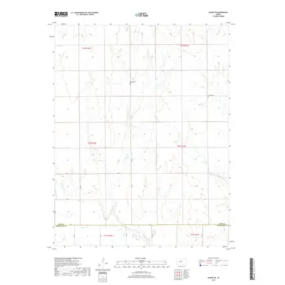
2009 Beeler
Ness County, KS
2009 Beeler SE
Ness County, KS
2009 Beeler SW
Ness County, KS
2009 Laird
Ness County, KS
2009 McCracken SW
Ness County, KS
2009 Ness City NE
Ness County, KS
2009 Ness City SE
Ness County, KS
2009 Ness City SW
Ness County, KS
2009 Osgood
Ness County, KS
2009 Ransom SE
Ness County, KS
2009 Ransom SW
Ness County, KS
2009 Utica SE
Ness County, KS
2009 Utica SW
Ness County, KS
2012 Arnold
Ness County, KS
2012 Bazine SW
Ness County, KS
2012 Beeler
Ness County, KS
2012 Beeler SE
Ness County, KS
2012 Beeler SW
Ness County, KS
2012 Laird
Ness County, KS
2012 McCracken SW
Ness County, KS
2012 Ness City NE
Ness County, KS
2012 Ness City SE
Ness County, KS
2012 Ness City SW
Ness County, KS
2012 Osgood
Ness County, KS
2012 Ransom SE
Ness County, KS
2012 Ransom SW
Ness County, KS
2012 Utica SE
Ness County, KS
2012 Utica SW
Ness County, KS
2015 Arnold
Ness County, KS
2015 Bazine SW
Ness County, KS
2015 Beeler
Ness County, KS

2015 Beeler SE
Ness County, KS
2015 Beeler SW
Ness County, KS
2015 Laird
Ness County, KS
2015 McCracken SW
Ness County, KS
2015 Ness City NE
Ness County, KS
2015 Ness City SE
Ness County, KS
2015 Ness City SW
Ness County, KS
2015 Osgood
Ness County, KS
2015 Ransom SE
Ness County, KS
2015 Ransom SW
Ness County, KS
2015 Utica SE
Ness County, KS
2015 Utica SW
Ness County, KS
2018 Arnold
Ness County, KS
2018 Bazine SW
Ness County, KS
2018 Beeler
Ness County, KS
2018 Beeler SE
Ness County, KS
2018 Beeler SW
Ness County, KS
2018 Laird
Ness County, KS
2018 McCracken SW
Ness County, KS
2018 Ness City NE
Ness County, KS
2018 Ness City SE
Ness County, KS
2018 Ness City SW
Ness County, KS
2018 Osgood
Ness County, KS
2018 Ransom SE
Ness County, KS
2018 Ransom SW
Ness County, KS
2018 Utica SE
Ness County, KS
2018 Utica SW
Ness County, KS
2022 Arnold
Ness County, KS
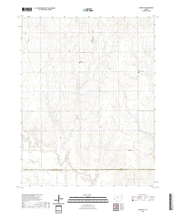
2022 Bazine SW
Ness County, KS
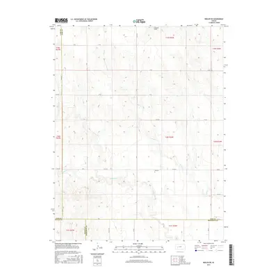
2022 Beeler
Ness County, KS
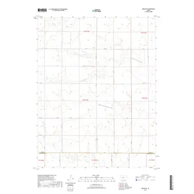
2022 Beeler SE
Ness County, KS
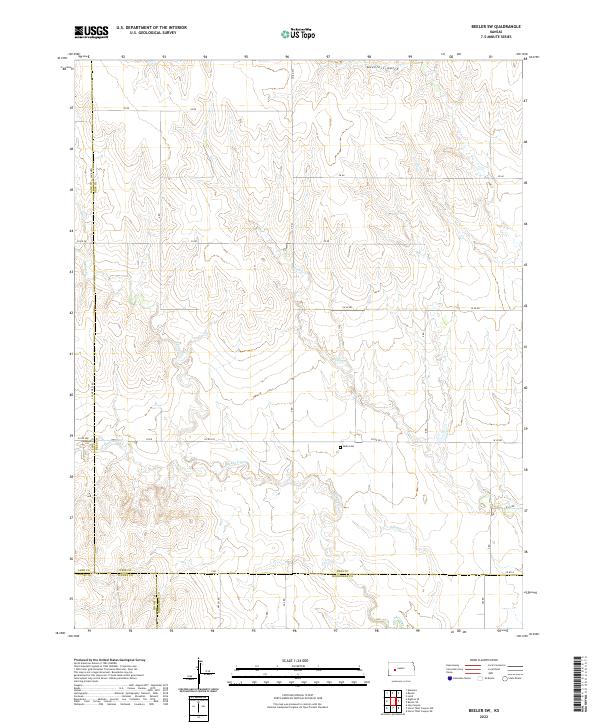
2022 Beeler SW
Ness County, KS
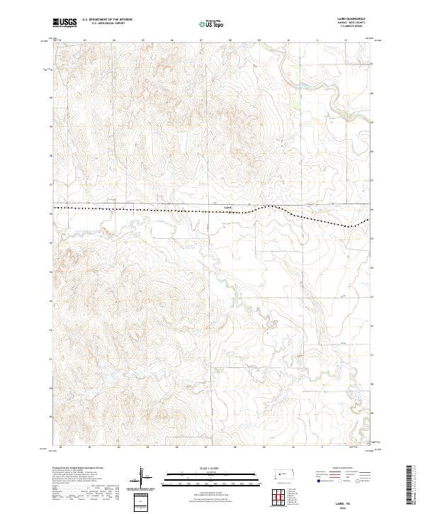
2022 Laird
Ness County, KS
2022 McCracken SW
Ness County, KS
2022 Ness City NE
Ness County, KS
2022 Ness City SE
Ness County, KS
2022 Ness City SW
Ness County, KS
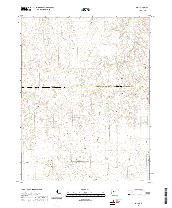
2022 Osgood
Ness County, KS
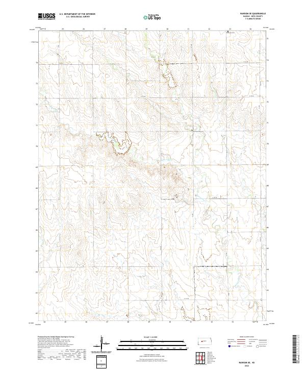
2022 Ransom SE
Ness County, KS
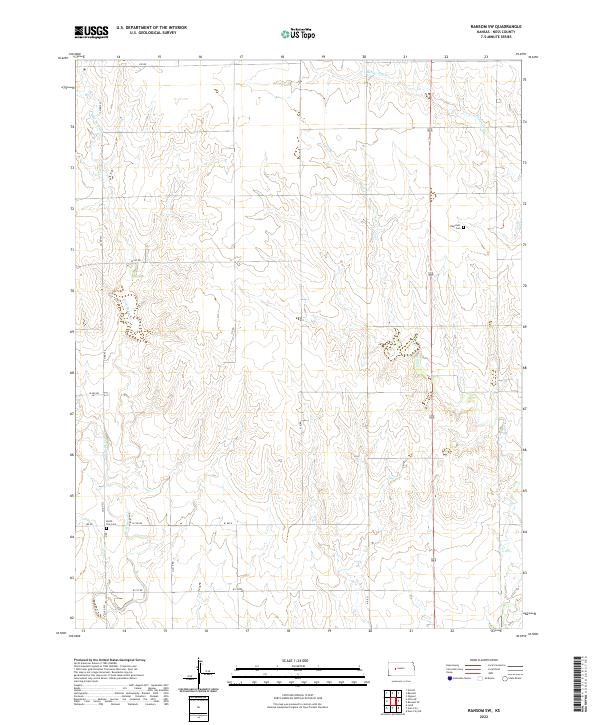
2022 Ransom SW
Ness County, KS
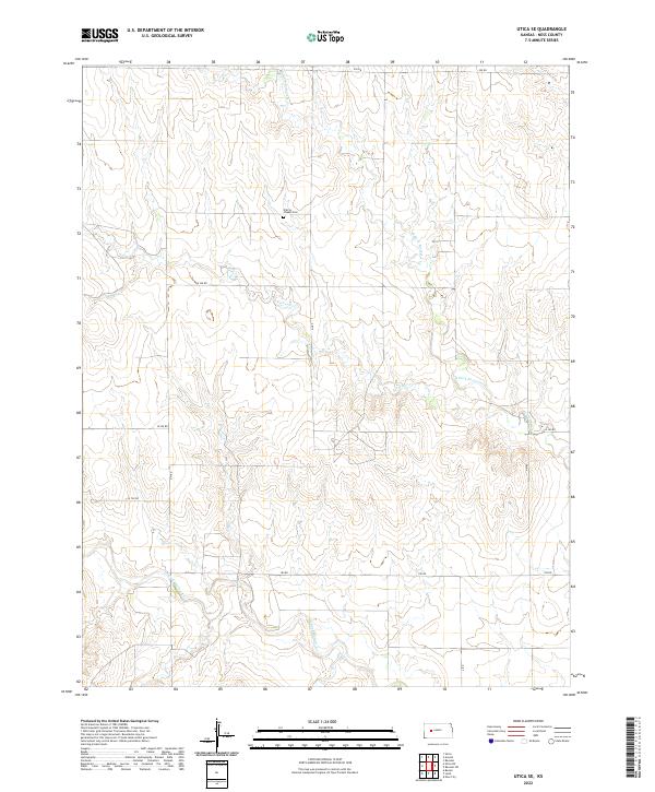
2022 Utica SE
Ness County, KS
2022 Utica SW
Ness County, KS