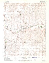
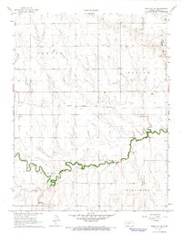
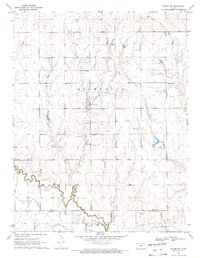
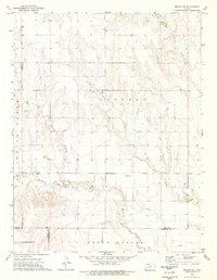
1965 Map of Beeler
USGS Topo · Published 1967This historical map portrays the area of Beeler in 1965, primarily covering Ness County as well as portions of Lane County. Featuring a scale of 1:24000, this map provides a highly detailed snapshot of the terrain, roads, buildings, counties, and historical landmarks in the Beeler region at the time. Published in 1967, it is the sole known edition of this map.
Find a feature on this map
16 named features on this map. Tap any name to fly to it.
Don’t see what you’re looking for? This feature index may not catch every label — zoom into the map to look around manually.
Map Details
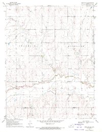
Editions of this 1965 Beeler Map
This is the sole edition of this map. No revisions or reprints were ever made.
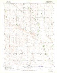
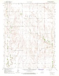
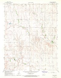
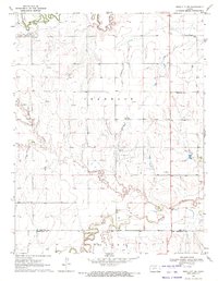
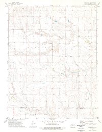
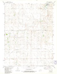
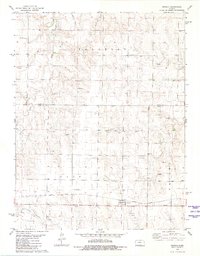
Historical Maps of Ness County Through Time
15 maps found
1965 Beeler
Ness County, KS
1965 Utica SW
Ness County, KS
1966 Laird
Ness County, KS
1966 Mc Cracken SW
Ness County, KS
1966 Ness City NE
Ness County, KS
1966 Ransom SE
Ness County, KS
1966 Ransom SW
Ness County, KS
1966 Utica SE
Ness County, KS
1970 Bazine SW
Ness County, KS
1970 Ness City SE
Ness County, KS
1970 Ness City SW
Ness County, KS
1974 Beeler SE
Ness County, KS
1974 Beeler SW
Ness County, KS
1980 Osgood
Ness County, KS
1981 Arnold
Ness County, KS