
2020 Map of Beery Reservoir
USGS Topo · Published 2020About this map
Immanuel Lutheran Cem stands as a focal point for local history in this section of McCone County, Montana. The landscape is defined by the drainage basins of Hay Cr and Cow Creek, which carve through the high plains. Human presence is marked primarily by ranching and agricultural infrastructure, with a network of rural roads such as E Hereford Rd and Sunrise Rd connecting the various sections. In the northeast corner, the Beery Reservoir serves as a significant water management feature in this arid environment. The map details the transition of Cow Creek as it winds southward, reflecting the importance of intermittent waterways and small-scale reservoirs to the regional economy and settlement patterns.
Find a feature on this map
16 named features on this map. Tap any name to fly to it.
Don’t see what you’re looking for? This feature index may not catch every label — zoom into the map to look around manually.
Map Details
Editions of this 2020 Beery Reservoir Map
This is the sole edition of this map. No revisions or reprints were ever made.
Other maps of this area

1954 · Glendive
USGS Topo · 1:250,000

1957 · Glendive
USGS Topo · 1:250,000

1958 · Glendive
USGS Topo · 1:250,000

1983 · Hudiburgh Reservoir
USGS Topo · 1:24,000

1983 · Buffalo Creek NE
USGS Topo · 1:24,000
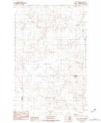
1983 · Kraut Coulee
USGS Topo · 1:24,000

1983 · Buffalo Creek
USGS Topo · 1:24,000

1983 · Beery Reservoir
USGS Topo · 1:24,000
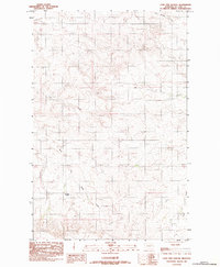
1983 · Lone Pine School
USGS Topo · 1:24,000
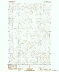
1983 · Buffalo Creek SE
USGS Topo · 1:24,000