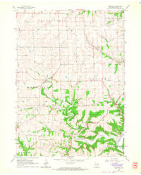
1962 Map of Beetown
USGS Topo · Published 1964About this map
Beetown and the surrounding unglaciated terrain of Grant County are defined by a dense network of watercourses and early lead mining sites. In the early 1960s, the landscape was a patchwork of small agricultural holdings, connected by a winding system of roads that followed the ridges and valleys of Rattlesnake Creek and Muskellunge Creek. The area’s history is anchored by numerous rural burial grounds and schools, including Blake Prairie Cem, St Marys Cem, and Flat Rock Sch, which served as the social centers for long-established farming families.
Find a feature on this map
28 named features on this map. Tap any name to fly to it.
Don’t see what you’re looking for? This feature index may not catch every label — zoom into the map to look around manually.
Map Details
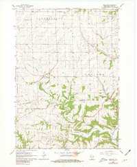
Editions of this 1962 Beetown Map
2 editions found
Other maps of this area

1900 · Lancaster
USGS Topo · 1:125,000

1902 · Elkader
USGS Topo · 1:125,000

1904 · Lancaster
USGS Topo · 1:125,000

1908 · Lancaster
USGS Topo · 1:125,000

1955 · Cassville
USGS Topo · 1:24,000

1955 · Balltown
USGS Topo · 1:24,000

1957 · Turkey River
USGS Topo · 1:24,000

1959 · Dubuque
USGS Topo · 1:250,000

1961 · Dubuque
USGS Topo · 1:250,000

1962 · Dubuque
USGS Topo · 1:250,000