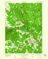
1949 Map of Belchertown
USGS Topo · Published 1961About this map
Belchertown and its surrounding Hampshire County landscape appear here in the late 1940s, revealing a rural network of family-named cemeteries and early industrial infrastructure. The settlement of Dwight marks a significant junction where the Central Vermont railroad skirts the foothills below Mt Lincoln. Further south, the State School and the St Hyacinths Seminary represent the institutional growth of the era, while the Sewage Disposal plant near Jabish Brook signals the mid-century modernization of local utilities.
Find a feature on this map
68 named features on this map. Tap any name to fly to it.
Don’t see what you’re looking for? This feature index may not catch every label — zoom into the map to look around manually.
Map Details
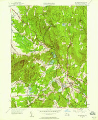
Editions of this 1949 Belchertown Map
2 editions found
Other maps of this area

1885 · Northampton
USGS Topo · 1:62,500

1886 · Springfield
USGS Topo · 1:62,500

1886 · Northampton
USGS Topo · 1:62,500

1887 · Palmer
USGS Topo · 1:62,500

1887 · Belchertown
USGS Topo · 1:62,500

1889 · Springfield
USGS Topo · 1:62,500

1889 · Palmer
USGS Topo · 1:62,500

1890 · Belchertown
USGS Topo · 1:62,500

1891 · Northampton
USGS Topo · 1:62,500

1893 · Northampton
USGS Topo · 1:62,500