2010 Map of Belen SW
USGS Topo · Published 2010About this map
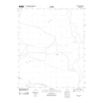
Rio Puerco meanders through the eastern portion of this arid Valencia County landscape, defined by a complex network of drainage systems and open terrain. In this 2010 snapshot, the Montano Flats occupy the central region, serving as a prominent geographical marker between the various arroyos and draws that shape the topography. Local water management is represented by the Loco Retention Dam in the southwest, reflecting the critical role of moisture control in this high-desert environment. The map records several named ephemeral waterways including Arroyo Monte Belen and Arroyo Comanche, which provide essential detail for understanding the area's natural drainage patterns and land-use history before modern development could alter these traditional landmarks.
Find a feature on this map
9 named features on this map. Tap any name to fly to it.
Don’t see what you’re looking for? This feature index may not catch every label — zoom into the map to look around manually.
Map Details
Editions of this 2010 Belen SW Map
This is the sole edition of this map. No revisions or reprints were ever made.
Other maps of this area

1916 · La Joya
USGS Topo · 1:125,000

1917 · Cerro Verde
USGS Topo · 1:125,000

1952 · La Joya NW
USGS Topo · 1:24,000

1952 · Belen SW
USGS Topo · 1:24,000

1952 · Belen
USGS Topo · 1:24,000

1952 · Veguita
USGS Topo · 1:24,000

1952 · Belen NW
USGS Topo · 1:24,000

1952 · Abeytas
USGS Topo · 1:24,000

1954 · Socorro
USGS Topo · 1:250,000

1956 · Mesa Aparejo
USGS Topo · 1:62,500