
1952 Map of Veguita
USGS Topo · Published 1953About this map
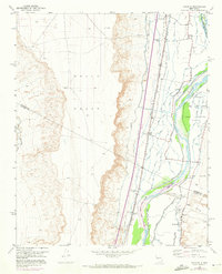
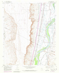
The Rio Grande valley in the early 1950s is defined by a dense network of irrigation and drainage infrastructure supporting a string of agricultural settlements. The landscape is organized between the Belen Grant, Tome Grant, and Casa Colorada Grant, where human activity centers on the fertile corridor between the river and the steep escarpments to the west. A complex system of water management including the Sabinal Drain, Jaral Ditch, and San Juan Canal illustrates the intensive cultivation of this arid region.
Find a feature on this map
41 named features on this map. Tap any name to fly to it.
Don’t see what you’re looking for? This feature index may not catch every label — zoom into the map to look around manually.
Map Details
Editions of this 1952 Veguita Map
3 editions found
Other maps of this area

1916 · La Joya
USGS Topo · 1:125,000

1952 · La Joya NW
USGS Topo · 1:24,000

1952 · Belen SW
USGS Topo · 1:24,000

1952 · Black Butte
USGS Topo · 1:24,000

1952 · Belen
USGS Topo · 1:24,000

1952 · Turn
USGS Topo · 1:24,000

1952 · Belen NW
USGS Topo · 1:24,000

1952 · Tome
USGS Topo · 1:24,000

1952 · Abeytas
USGS Topo · 1:24,000

1954 · Socorro
USGS Topo · 1:250,000