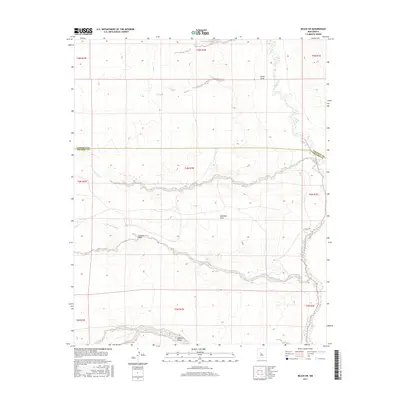
2017 Map of Belen SW
USGS Topo · Published 2017About this map
Rio Puerco defines the eastern edge of this arid landscape, winding along the boundary of Valencia and Socorro counties. The terrain is characterized by a series of significant drainage systems that carve through the high desert, including Arroyo Comanche and Arroyo Alamito. These seasonal watercourses dictate the physical geography of the region, flowing from the higher elevations down toward the river valley.
Find a feature on this map
17 named features on this map. Tap any name to fly to it.
Don’t see what you’re looking for? This feature index may not catch every label — zoom into the map to look around manually.
Map Details
Editions of this 2017 Belen SW Map
This is the sole edition of this map. No revisions or reprints were ever made.
Other maps of this area

1916 · La Joya
USGS Topo · 1:125,000

1917 · Cerro Verde
USGS Topo · 1:125,000

1952 · La Joya NW
USGS Topo · 1:24,000

1952 · Belen SW
USGS Topo · 1:24,000

1952 · Belen
USGS Topo · 1:24,000

1952 · Veguita
USGS Topo · 1:24,000

1952 · Belen NW
USGS Topo · 1:24,000

1952 · Abeytas
USGS Topo · 1:24,000

1954 · Socorro
USGS Topo · 1:250,000

1956 · Mesa Aparejo
USGS Topo · 1:62,500