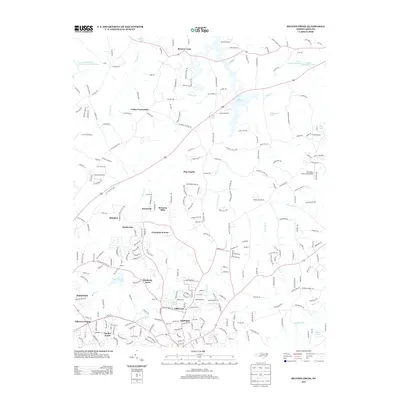
2013 Map of Belews Creek
USGS Topo · Published 2013About this map
Belews Lake and the Haw River define the landscape of this northern Forsyth County region, where rural agricultural lands meet expanding residential communities. The map captures a transitional period of suburban development north of Kernersville, evidenced by numerous named subdivisions like Kimberly Acres, Greystone Forest, and Timber Trails appearing alongside established crossroads. Local navigation is anchored by historic junctions such as Crims Crossroads and Talleys Crossing, while the presence of the DS Butler Farm and Airfield points to private aviation and farming heritage. Significant water bodies including Kernersville Lake, Linville Lake, and Thompson Lake provide recreational and environmental focal points amidst the network of creeks like Kings Cr and W Belews Cr.
Find a feature on this map
271 named features on this map. Tap any name to fly to it.
Don’t see what you’re looking for? This feature index may not catch every label — zoom into the map to look around manually.
Map Details
Editions of this 2013 Belews Creek Map
This is the sole edition of this map. No revisions or reprints were ever made.
Other maps of this area

1950 · Winston-Salem East
USGS Topo · 1:24,000

1951 · Winston-Salem East
USGS Topo · 1:24,000

1951 · Guilford
USGS Topo · 1:24,000

1951 · Walkertown
USGS Topo · 1:24,000

1953 · Winston-Salem
USGS Topo · 1:250,000

1953 · Greensboro
USGS Topo · 1:250,000

1954 · Greensboro
USGS Topo · 1:250,000

1955 · Winston-Salem
USGS Topo · 1:250,000

1962 · Winston-Salem
USGS Topo · 1:250,000

1962 · Greensboro
USGS Topo · 1:250,000