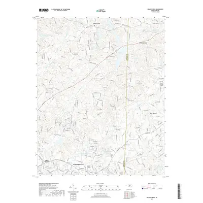
2019 Map of Belews Creek
USGS Topo · Published 2019About this map
Kernersville anchors the southern portion of this landscape at the intersection of Forsyth and Guilford counties. The area is defined by a dense network of suburban development and family-named landmarks, reflecting the rapid growth of the Piedmont Triad region. To the north, the massive Belews Lake and smaller bodies of water like Upper Merchants Lake and Lower Merchants Lake dominate the hydrography, while the headwaters of the Haw River and Reedy Fork carve through the eastern terrain. Small historical hubs such as Stokesdale, Oak Ridge, and Crims Crossroads are visible, connected by a high concentration of established routes like Reidsville Rd and Kernersville Rd. This survey preserves the exact footprint of local institutions such as the Eastlawn Gardens of Memory and the industrial-transport junction at Talleys Crossing, documenting the transition from rural crossroads to contemporary suburban centers.
Find a feature on this map
212 named features on this map. Tap any name to fly to it.
Don’t see what you’re looking for? This feature index may not catch every label — zoom into the map to look around manually.
Map Details
Editions of this 2019 Belews Creek Map
This is the sole edition of this map. No revisions or reprints were ever made.
Other maps of this area

1950 · Winston-Salem East
USGS Topo · 1:24,000

1951 · Winston-Salem East
USGS Topo · 1:24,000

1951 · Guilford
USGS Topo · 1:24,000

1951 · Walkertown
USGS Topo · 1:24,000

1953 · Winston-Salem
USGS Topo · 1:250,000

1953 · Greensboro
USGS Topo · 1:250,000

1954 · Greensboro
USGS Topo · 1:250,000

1955 · Winston-Salem
USGS Topo · 1:250,000

1962 · Winston-Salem
USGS Topo · 1:250,000

1962 · Greensboro
USGS Topo · 1:250,000