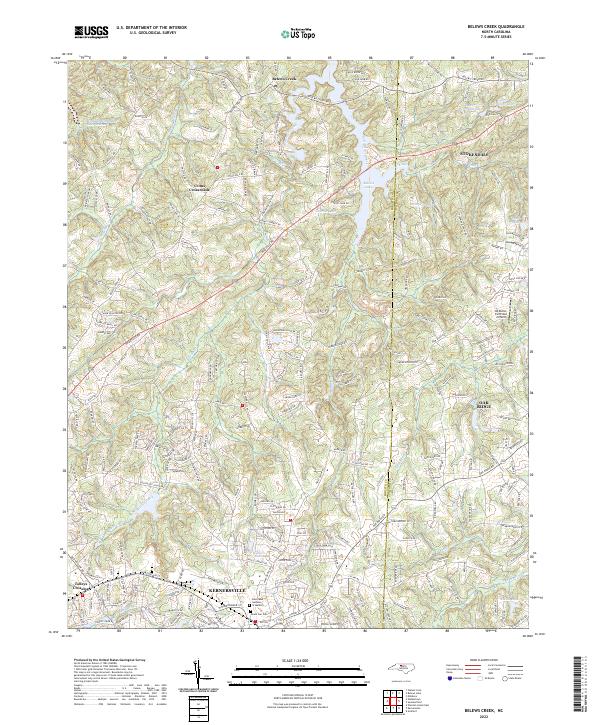
2022 Map of Belews Creek
USGS Topo · Published 2022About this map
Kernersville and Stokesdale anchor this landscape along the border of Forsyth and Guilford counties, representing a region of significant growth and suburban integration. The northern portion of the map is dominated by the sprawling reach of Belews Lake, an artificial reservoir that altered the local topography and drainage patterns of Belews Creek and its tributaries. This survey reveals a transition from traditional rural patterns, evidenced by family-named landmarks and the DS Butler Farm and Airfield, to modern developments near the municipal centers of Oak Ridge and Walkers Lake.
Find a feature on this map
33 named features on this map. Tap any name to fly to it.
Don’t see what you’re looking for? This feature index may not catch every label — zoom into the map to look around manually.
Map Details
Editions of this 2022 Belews Creek Map
This is the sole edition of this map. No revisions or reprints were ever made.
Other maps of this area

1950 · Winston-Salem East
USGS Topo · 1:24,000

1951 · Winston-Salem East
USGS Topo · 1:24,000

1951 · Guilford
USGS Topo · 1:24,000

1951 · Walkertown
USGS Topo · 1:24,000

1953 · Winston-Salem
USGS Topo · 1:250,000

1953 · Greensboro
USGS Topo · 1:250,000

1954 · Greensboro
USGS Topo · 1:250,000

1955 · Winston-Salem
USGS Topo · 1:250,000

1962 · Winston-Salem
USGS Topo · 1:250,000

1962 · Greensboro
USGS Topo · 1:250,000