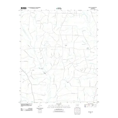
2011 Map of Belfast
USGS Topo · Published 2011About this map
The settlement of Belfast serves as a central point in this rural landscape, which is defined by an intricate network of timber access routes and forestry roads. Waterways like Hurricane Creek, Boxley Creek, and the uniquely named Wet Lost Creek carve through the terrain, while man-made features such as Fiser Lake Dam and Lake Kay indicate local water management. The area is dotted with historic burial grounds including Jones Cemetery, Corinth Cemetery, and Crossroads Cemetery, which provide valuable touchpoints for genealogists researching family ties in this part of Grant County. A complex system of named trails, such as Hula Bar Trl and Kerr Trl, along with numerous forestry roads like Forestry Road 9917, crisscross the land, reflecting the active timber industry and local navigation patterns in the early 21st century.
Find a feature on this map
99 named features on this map. Tap any name to fly to it.
Don’t see what you’re looking for? This feature index may not catch every label — zoom into the map to look around manually.
Map Details
Editions of this 2011 Belfast Map
This is the sole edition of this map. No revisions or reprints were ever made.
Other maps of this area

1890 · Benton
USGS Topo · 1:125,000

1891 · Little Rock
USGS Topo · 1:125,000

1893 · Little Rock
USGS Topo · 1:125,000

1894 · Benton
USGS Topo · 1:125,000

1935 · Alexander
USGS Topo · 1:48,000

1938 · Benton
USGS Topo · 1:48,000

1941 · Alexander
USGS Topo · 1:62,500

1944 · Benton
USGS Topo · 1:62,500

1944 · Spring Lake
USGS Topo · 1:31,680

1944 · Bryant
USGS Topo · 1:31,680