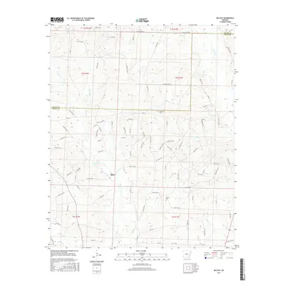
2017 Map of Belfast
USGS Topo · Published 2017About this map
Belfast sits at the heart of this landscape, positioned within a complex network of drainage basins and forest roads along the border of Saline and Grant counties. The area is defined by its small water bodies and creeks, including Fiser Lake and Lake Kay, and a myriad of named waterways such as Hurricane Cr, Eagle Cr, and the uniquely named Skullbone Cr.
Find a feature on this map
98 named features on this map. Tap any name to fly to it.
Don’t see what you’re looking for? This feature index may not catch every label — zoom into the map to look around manually.
Map Details
Editions of this 2017 Belfast Map
This is the sole edition of this map. No revisions or reprints were ever made.
Other maps of this area

1890 · Benton
USGS Topo · 1:125,000

1891 · Little Rock
USGS Topo · 1:125,000

1893 · Little Rock
USGS Topo · 1:125,000

1894 · Benton
USGS Topo · 1:125,000

1935 · Alexander
USGS Topo · 1:48,000

1938 · Benton
USGS Topo · 1:48,000

1941 · Alexander
USGS Topo · 1:62,500

1944 · Benton
USGS Topo · 1:62,500

1944 · Spring Lake
USGS Topo · 1:31,680

1944 · Bryant
USGS Topo · 1:31,680