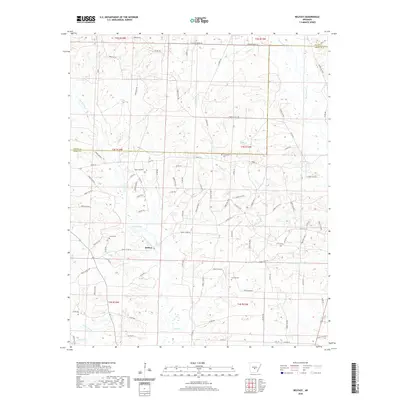
2020 Map of Belfast
USGS Topo · Published 2020About this map
Belfast serves as the primary community anchor in this portion of Grant County, where the landscape is defined by an intricate network of timber access roads and forest trails. The terrain is marked by a complex drainage system, including the curious parallel naming of Wet Lost Cr, Dry Lost Cr, and Little Lost Cr, alongside larger water bodies like Fiser Lake. Local heritage is preserved in several small burial grounds such as Corinth Cem, Jones Cem, and Crossroads Cem, which are scattered throughout the township divisions. The area maintains its rural character through numerous forest routes, including Oregon Trl and Taylor Trl, reflecting a modern landscape still heavily shaped by the forestry industry and traditional land divisions in the Arkansas timberlands.
Find a feature on this map
102 named features on this map. Tap any name to fly to it.
Don’t see what you’re looking for? This feature index may not catch every label — zoom into the map to look around manually.
Map Details
Editions of this 2020 Belfast Map
This is the sole edition of this map. No revisions or reprints were ever made.
Other maps of this area

1890 · Benton
USGS Topo · 1:125,000

1891 · Little Rock
USGS Topo · 1:125,000

1893 · Little Rock
USGS Topo · 1:125,000

1894 · Benton
USGS Topo · 1:125,000

1935 · Alexander
USGS Topo · 1:48,000

1938 · Benton
USGS Topo · 1:48,000

1941 · Alexander
USGS Topo · 1:62,500

1944 · Benton
USGS Topo · 1:62,500

1944 · Spring Lake
USGS Topo · 1:31,680

1944 · Bryant
USGS Topo · 1:31,680