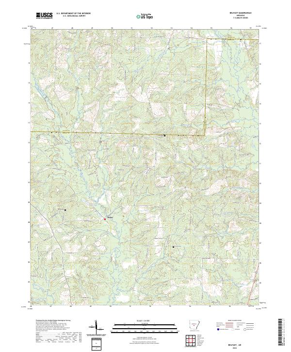
2024 Map of Belfast
USGS Topo · Published 2024About this map
The small settlement of Belfast sits at the heart of this landscape, positioned where several creeks and branches converge in Grant County. The area's geography is defined by its complex drainage network, featuring the notably named Dry Lost Creek, Wet Lost Creek, and the curious Skullbone Creek to the south. Historically, the community's rural character is anchored by scattered burial grounds, including Crossroads Cem and Jones Cem, which serve as important landmarks for genealogical research in this part of Arkansas.
Find a feature on this map
101 named features on this map. Tap any name to fly to it.
Don’t see what you’re looking for? This feature index may not catch every label — zoom into the map to look around manually.
Map Details
Editions of this 2024 Belfast Map
This is the sole edition of this map. No revisions or reprints were ever made.
Other maps of this area

1890 · Benton
USGS Topo · 1:125,000

1891 · Little Rock
USGS Topo · 1:125,000

1893 · Little Rock
USGS Topo · 1:125,000

1894 · Benton
USGS Topo · 1:125,000

1935 · Alexander
USGS Topo · 1:48,000

1938 · Benton
USGS Topo · 1:48,000

1941 · Alexander
USGS Topo · 1:62,500

1944 · Benton
USGS Topo · 1:62,500

1944 · Spring Lake
USGS Topo · 1:31,680

1944 · Bryant
USGS Topo · 1:31,680