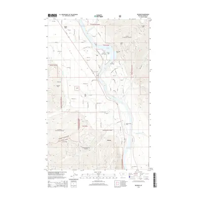
2014 Map of Belknap
USGS Topo · Published 2014About this map
Noxon Reservoir serves as the central geographic feature of this Sanders County landscape, where the Clark Fork river valley is framed by the steep rises of Lolo National Forest and Kaniksu National Forest. The small settlements of White Pine, Talc, and Belknap line the valley floor, connected by the corridor of MT-200. The map reveals a high concentration of private family-named roads and rural lanes, such as White Pine Ln, Deer Run Rd, and Naegeli Rd, indicating the dispersed residential pattern typical of this timber and ranching region.
Find a feature on this map
75 named features on this map. Tap any name to fly to it.
Don’t see what you’re looking for? This feature index may not catch every label — zoom into the map to look around manually.
Map Details
Editions of this 2014 Belknap Map
This is the sole edition of this map. No revisions or reprints were ever made.
Other maps of this area

1932 · Trout Creek
USGS Topo · 1:125,000

1935 · Trout Creek
USGS Topo · 1:125,000

1936 · Trout Creek
USGS Topo · 1:125,000

1937 · Thompson Falls
USGS Topo · 1:125,000

1937 · Thompson Falls
USGS Topo · 1:62,500

1956 · Cooper Gulch
USGS Topo · 1:62,500

1956 · Wallace
USGS Topo · 1:250,000

1957 · Thompson Falls
USGS Topo · 1:62,500

1960 · Wallace
USGS Topo · 1:250,000

1966 · Vermilion Peak
USGS Topo · 1:24,000