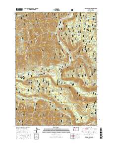
2017 Map of Belknap Springs
USGS Topo · Published 2017About this map
Belknap Springs and Foley Springs anchor this portion of the Cascade Range, where the thermal activity of the volcanic landscape has long drawn visitors to the banks of the McKenzie River. This 2017 study illustrates the complex network of forest development roads, such as Natl Forest Develop Road 2650 RD, that weave through the Willamette National Forest to reach remote landmarks like Cupola Rock and Frissell Point. The map provides a contemporary record of land management and recreation, highlighting the McKenzie River NRT trail and the Mc Kenzie Bridge State Airport serving the river valley. From the heights of Foley Ridge down to the confluence of Horse Creek and the McKenzie River, the cartography details a wilderness structured by both its natural hydrology—seen in Rainbow Falls and Separation Cr—and the infrastructure required for modern forestry and tourism.
Find a feature on this map
48 named features on this map. Tap any name to fly to it.
Don’t see what you’re looking for? This feature index may not catch every label — zoom into the map to look around manually.
Map Details
Editions of this 2017 Belknap Springs Map
This is the sole edition of this map. No revisions or reprints were ever made.
Other maps of this area

1929 · Three Sisters
USGS Topo · 1:125,000

1932 · Three Sisters
USGS Topo · 1:125,000

1934 · Mc Kenzie Bridge
USGS Topo · 1:96,000

1940 · Mc Kenzie Bridge
USGS Topo · 1:125,000

1953 · Salem
USGS Topo · 1:250,000

1954 · Salem
USGS Topo · 1:250,000

1955 · Echo Mountain
USGS Topo · 1:62,500

1955 · Mc Kenzie Bridge
USGS Topo · 1:62,500

1955 · Bend
USGS Topo · 1:250,000

1957 · Bend
USGS Topo · 1:250,000