
1955 Map of Mc Kenzie Bridge
USGS Topo · Published 1958About this map
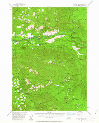
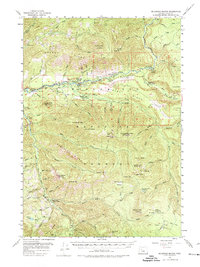
McKenzie River valley life centers on the communities of Mc Kenzie Bridge and Rainbow during the mid-1950s. This period of development is anchored by significant infrastructure projects, most notably Cougar Dam, which is shown here under construction along the South Fork McKenzie River. The map details a landscape managed for both timber and recreation within the Willamette National Forest, featuring a network of sites like the J E Harris State Pk Ranger Station and Belknap Springs. High-altitude lookouts including Lookout Mtn and Olallie Mtn watch over a terrain of ridges like Sawtooth Ridge and Foley Ridge. The map also captures specialized transport links of the era, such as the Mc Kenzie Bridge Airstrip and the remote Olallie Landing Field at Bear Flat.
Find a feature on this map
83 named features on this map. Tap any name to fly to it.
Don’t see what you’re looking for? This feature index may not catch every label — zoom into the map to look around manually.
Map Details
Editions of this 1955 Mc Kenzie Bridge Map
3 editions found
Other maps of this area

1925 · Waldo Lake
USGS Topo · 1:125,000

1929 · Three Sisters
USGS Topo · 1:125,000

1930 · Maiden Peak
USGS Topo · 1:125,000

1932 · Three Sisters
USGS Topo · 1:125,000

1934 · Maiden Peak
USGS Topo · 1:125,000

1934 · Mc Kenzie Bridge
USGS Topo · 1:96,000

1940 · Mc Kenzie Bridge
USGS Topo · 1:125,000

1953 · Salem
USGS Topo · 1:250,000

1954 · Salem
USGS Topo · 1:250,000

1955 · Chucksney Mtn
USGS Topo · 1:62,500