
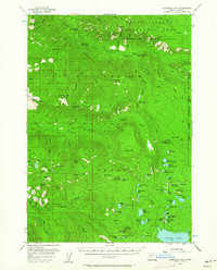
1955 Map of Chucksney Mtn
USGS Topo · Published 1958About this map
Chucksney Mtn dominates the high ground of the Willamette National Forest during the mid-1950s, a period when forest management infrastructure relied heavily on isolated outposts. The map documents a network of administrative and recreational sites, including the Waldo Guard Sta and Box Canyon Guard Sta, alongside fire-prevention points like Mule Mtn Lookout. The landscape is a mix of high prairies and meadows such as Salt Rock Prairie, Etta Prairie, and Blair Mdw, indicating the diverse open terrain found between the timbered ridges. Waterways like the South Fork McKenzie River and the North Fork of the Middle Fork Willamette River define the drainage patterns, while numerous seasonal camps such as Dutch Oven Forest Camp and Homestead Forest Camp provide evidence of early mid-century forest use before modern road expansions altered accessibility.
Find a feature on this map
99 named features on this map. Tap any name to fly to it.
Don’t see what you’re looking for? This feature index may not catch every label — zoom into the map to look around manually.
Map Details
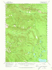
Editions of this 1955 Chucksney Mtn Map
3 editions found
Other maps of this area

1925 · Waldo Lake
USGS Topo · 1:125,000

1929 · Three Sisters
USGS Topo · 1:125,000

1930 · Maiden Peak
USGS Topo · 1:125,000

1932 · Three Sisters
USGS Topo · 1:125,000

1934 · Maiden Peak
USGS Topo · 1:125,000

1934 · Mc Kenzie Bridge
USGS Topo · 1:96,000

1940 · Mc Kenzie Bridge
USGS Topo · 1:125,000

1953 · Salem
USGS Topo · 1:250,000

1954 · Salem
USGS Topo · 1:250,000

1955 · Blue River
USGS Topo · 1:62,500