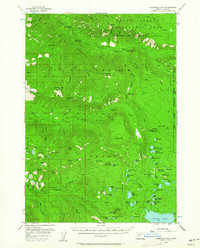
1955 Map of Chucksney Mtn
USGS Topo · Published 1962About this map
Willamette National Forest dominates this mid-1950s survey, revealing a high-altitude wilderness shaped by volcanic buttes and primitive forest service infrastructure. The landscape is characterized by a network of seasonal high-country meadows or "prairies," such as Grasshopper Prairie and Salt Rock Prairie, which historically served as key landmarks for rangers and early travelers. Essential management outposts are scattered throughout the terrain, including the Mule Mtn Lookout and the Box Canyon Guard Sta, reflecting the era's reliance on manned stations for fire detection and forest administration.
Find a feature on this map
102 named features on this map. Tap any name to fly to it.
Don’t see what you’re looking for? This feature index may not catch every label — zoom into the map to look around manually.
Map Details
Editions of this 1955 Chucksney Mtn Map
3 editions found
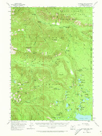
Other maps of this area

1925 · Waldo Lake
USGS Topo · 1:125,000

1929 · Three Sisters
USGS Topo · 1:125,000

1930 · Maiden Peak
USGS Topo · 1:125,000

1932 · Three Sisters
USGS Topo · 1:125,000

1934 · Maiden Peak
USGS Topo · 1:125,000

1934 · Mc Kenzie Bridge
USGS Topo · 1:96,000

1940 · Mc Kenzie Bridge
USGS Topo · 1:125,000

1953 · Salem
USGS Topo · 1:250,000

1954 · Salem
USGS Topo · 1:250,000

1955 · Chucksney Mtn
USGS Topo · 1:62,500