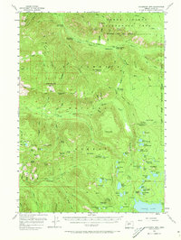
1955 Map of Chucksney Mtn
USGS Topo · Published 1973About this map
The South Fork McKenzie River and the Middle Fork Willamette River dominate the drainage patterns of this high-elevation landscape within the Willamette National Forest. This mid-century survey captures a network of fire lookouts and forest management infrastructure essential to the region's timber and conservation history, including the Rebel Rock Lookout, Grasshopper Mtn Lookout, and Mule Mtn Lookout. The eastern portion of the sheet is defined by the high-country lakes of the Three Sisters Wilderness Area, featuring the expansive Waldo Lake and a chain of smaller alpine bodies such as Upper Erma Bell Lake and Lake Kiwa.
Find a feature on this map
110 named features on this map. Tap any name to fly to it.
Don’t see what you’re looking for? This feature index may not catch every label — zoom into the map to look around manually.
Map Details
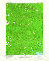
Editions of this 1955 Chucksney Mtn Map
3 editions found
Other maps of this area

1925 · Waldo Lake
USGS Topo · 1:125,000

1929 · Three Sisters
USGS Topo · 1:125,000

1930 · Maiden Peak
USGS Topo · 1:125,000

1932 · Three Sisters
USGS Topo · 1:125,000

1934 · Maiden Peak
USGS Topo · 1:125,000

1934 · Mc Kenzie Bridge
USGS Topo · 1:96,000

1940 · Mc Kenzie Bridge
USGS Topo · 1:125,000

1953 · Salem
USGS Topo · 1:250,000

1954 · Salem
USGS Topo · 1:250,000

1955 · Chucksney Mtn
USGS Topo · 1:62,500