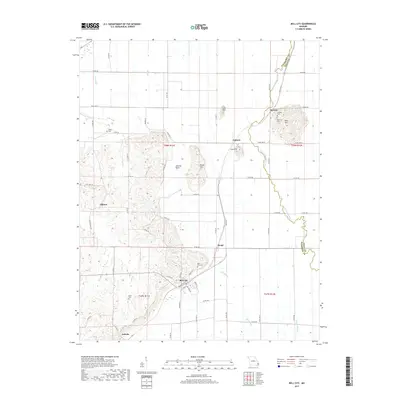
2017 Map of Bell City
USGS Topo · Published 2017About this map
Bell City stands as a primary hub within this Stoddard County landscape, situated where the lowlands of the Bootheel meet distinctive rises. The terrain is defined by isolated topographic features like Bird Hill, Ringer Hill, and Lost Hill, which provide relief above the drainage networks of Upper Whitewater Cr and Mill Slough. These hills often serve as the sites for community landmarks, such as Thomas Cem and Plainview Cem near the village of Perkins.
Find a feature on this map
72 named features on this map. Tap any name to fly to it.
Don’t see what you’re looking for? This feature index may not catch every label — zoom into the map to look around manually.
Map Details
Editions of this 2017 Bell City Map
This is the sole edition of this map. No revisions or reprints were ever made.
Other maps of this area

1931 · Sikeston
USGS Topo · 1:62,500

1934 · Morley
USGS Topo · 1:62,500

1934 · Bloomfield
USGS Topo · 1:62,500

1934 · Sikeston
USGS Topo · 1:62,500

1934 · Advance
USGS Topo · 1:62,500

1939 · Bloomfield
USGS Topo · 1:62,500

1939 · Sikeston
USGS Topo · 1:62,500

1939 · Morley
USGS Topo · 1:62,500

1939 · Advance
USGS Topo · 1:62,500

1949 · Paducah
USGS Topo · 1:250,000