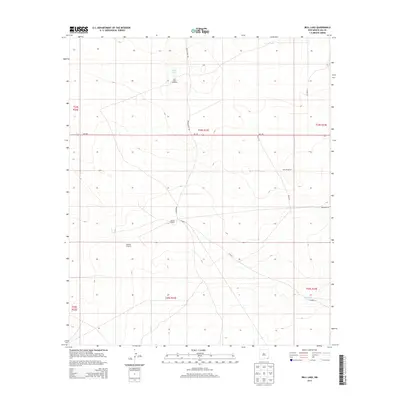
2013 Map of Bell Lake
USGS Topo · Published 2013About this map
Double X Ranch serves as a primary point of habitation in this ranching landscape of eastern New Mexico. The terrain is defined by its water management infrastructure, where isolated features like Bell Lake, Jog Tank, and Red Tank sustain the region's livestock economy. Connectivity is provided by a network of secondary routes and trails, including Brinninstool Rd and Diamond Rd, which cut through the open country. The importance of groundwater is evident in the naming of specific mechanical landmarks such as Bell Lake Windmill, Slick Windmills, and the Pipeline Windmill. These features indicate a landscape carefully adapted for cattle operations, where even a single windmill or tank becomes a significant geographic marker in the vast expanse between NM-128 and the surrounding ranch tracts.
Find a feature on this map
20 named features on this map. Tap any name to fly to it.
Don’t see what you’re looking for? This feature index may not catch every label — zoom into the map to look around manually.
Map Details
Editions of this 2013 Bell Lake Map
This is the sole edition of this map. No revisions or reprints were ever made.
Other maps of this area

1954 · Hobbs
USGS Topo · 1:250,000

1958 · Hobbs
USGS Topo · 1:250,000

1963 · Oil Center
USGS Topo · 1:62,500

1963 · Hat Mesa
USGS Topo · 1:62,500

1973 · Bell Lake
USGS Topo · 1:24,000

1973 · Paduca Breaks NW
USGS Topo · 1:24,000

1973 · Paduca Breaks East
USGS Topo · 1:24,000
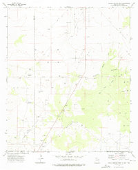
1973 · Paduca Breaks West
USGS Topo · 1:24,000
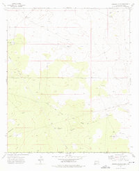
1973 · Andrews Place
USGS Topo · 1:24,000
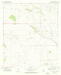
1973 · Woodley Flat
USGS Topo · 1:24,000