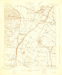
1925 Map of Bell
USGS Topo · Published 1932About this map
Downey and its surrounding agricultural plains appear during a period of industrial and residential expansion in the mid-1920s. The landscape is defined by a dense network of major railways including the Southern Pacific, Union Pacific, and the Pacific Electric, which facilitate the growth of early suburbs like Maywood, Bell, and South Gate. Heavy industry is represented by the Rio Grande Oil Refinery near Vinvale, while the rural character of the region persists in the numerous named schoolhouses and the presence of the County Farm Hondo PO.
Find a feature on this map
65 named features on this map. Tap any name to fly to it.
Don’t see what you’re looking for? This feature index may not catch every label — zoom into the map to look around manually.
Map Details
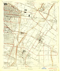
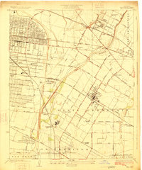
Editions of this 1925 Bell Map
2 editions found
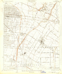
Historical Maps of Downey Through Time
3 maps found