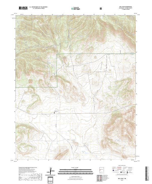
2023 Map of Bell Peak
USGS Topo · Published 2023About this map
Apache National Forest dominates this high-altitude landscape in Catron County, defined by a complex network of ridges and drainage canyons. The namesake Bell Peak stands as a central landmark, flanked by the deep cuts of Patterson Canyon and Rincon Canyon. This area is characterized by its vital water management features, essential for supporting livestock and wildlife in the arid high desert. Named water catchments such as Upper Barreras Tank, Lower Barreras Tank, and the East Sanchez Tank are distributed across the terrain, reflecting the long-standing ranching history of the region.
Find a feature on this map
31 named features on this map. Tap any name to fly to it.
Don’t see what you’re looking for? This feature index may not catch every label — zoom into the map to look around manually.
Map Details
Editions of this 2023 Bell Peak Map
This is the sole edition of this map. No revisions or reprints were ever made.
Other maps of this area

1918 · Pelona
USGS Topo · 1:125,000

1954 · Clifton
USGS Topo · 1:250,000

1954 · Saint Johns
USGS Topo · 1:250,000

1957 · Clifton
USGS Topo · 1:250,000

1957 · Saint Johns
USGS Topo · 1:250,000

1958 · Clifton
USGS Topo · 1:250,000

1958 · Saint Johns
USGS Topo · 1:250,000

1962 · Clifton
USGS Topo · 1:250,000

1962 · Saint Johns
USGS Topo · 1:250,000

1981 · Fullerton
USGS Topo · 1:24,000