
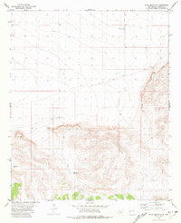
1981 Map of Fullerton
USGS Topo · Published 1981About this map
Water infrastructure and topographic depressions define this pocket of Catron County, New Mexico. The small settlement of Fullerton sits near the eastern edge of the quadrangle, serving as a focal point in a landscape marked by scattered water sources. Wells such as Carrejo Well, Birmingham Well, and the Crooked Tower Well are critical landmarks across the high desert terrain. These features reveal the importance of groundwater management in a region defined by its wide, open spaces and significant natural features like the Depression in the northwest and the prominent Bat Cave to the south.
Find a feature on this map
19 named features on this map. Tap any name to fly to it.
Don’t see what you’re looking for? This feature index may not catch every label — zoom into the map to look around manually.
Map Details
Editions of this 1981 Fullerton Map
This is the sole edition of this map. No revisions or reprints were ever made.
Other maps of this area

1918 · Pelona
USGS Topo · 1:125,000

1954 · Clifton
USGS Topo · 1:250,000

1957 · Clifton
USGS Topo · 1:250,000

1958 · Clifton
USGS Topo · 1:250,000

1962 · Clifton
USGS Topo · 1:250,000
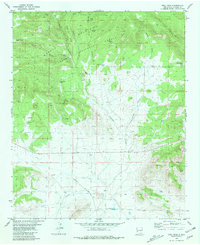
1981 · Bell Peak
USGS Topo · 1:24,000
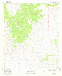
1981 · Pelona Mountain
USGS Topo · 1:24,000
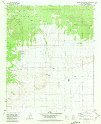
1981 · Horse Mountain West
USGS Topo · 1:24,000
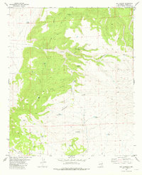
1981 · Rail Canyon
USGS Topo · 1:24,000
1981 · Shaw Mountain
USGS Topo · 1:24,000