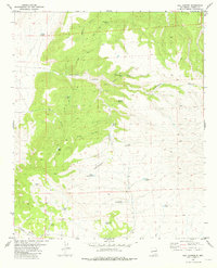
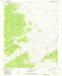
1981 Map of Rail Canyon
USGS Topo · Published 1981About this map
The Continental Divide defines the hydrological spine of this high-altitude landscape in Catron County, where drainage networks branch toward distinct basins. To the west, the terrain is deeply incised by Cottonwood Canyon and its many tributaries, including Indian House Canyon and West Canyon. The settlement pattern is characterized by remote ranching infrastructure, evidenced by a sophisticated system of earthen tanks and water catchments strategically placed across the various drainages. Notable water features like Batton Pond, Thompson Tank, and the Upper Divide Tank suggest a landscape managed for livestock in an arid environment. The map details the complex topography surrounding Rail Canyon and Batton Canyon, illustrating the reliance on local topography for water retention before the modern era of more intensive development in the region.
Find a feature on this map
25 named features on this map. Tap any name to fly to it.
Don’t see what you’re looking for? This feature index may not catch every label — zoom into the map to look around manually.
Map Details
Editions of this 1981 Rail Canyon Map
This is the sole edition of this map. No revisions or reprints were ever made.
Other maps of this area

1918 · Pelona
USGS Topo · 1:125,000

1954 · Clifton
USGS Topo · 1:250,000

1957 · Clifton
USGS Topo · 1:250,000

1958 · Clifton
USGS Topo · 1:250,000

1962 · Clifton
USGS Topo · 1:250,000

1981 · Fullerton
USGS Topo · 1:24,000
1981 · Pelona Mountain
USGS Topo · 1:24,000
1981 · Shaw Mountain
USGS Topo · 1:24,000
1981 · Rael Spring
USGS Topo · 1:24,000
1981 · Salvation Peak
USGS Topo · 1:24,000