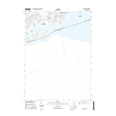
2017 Map of Belle Isle
USGS Topo · Published 2017About this map
Belle Isle serves as the focal point of the riverine landscape between Detroit and the international border. This modern topographic study illustrates the intricate water features of the island park, including Lake Muskoday, Blue Heron Lagoon, and Lake Okonoka. The map documents the high density of the Detroit riverfront, stretching from the residential corridors along Jefferson Ave to the established neighborhoods of Grosse Pointe Park.
Find a feature on this map
112 named features on this map. Tap any name to fly to it.
Don’t see what you’re looking for? This feature index may not catch every label — zoom into the map to look around manually.
Map Details
Editions of this 2017 Belle Isle Map
This is the sole edition of this map. No revisions or reprints were ever made.
Other maps of this area

1905 · Detroit
USGS Topo · 1:62,500

1905 · Grosse Pointe
USGS Topo · 1:62,500

1906 · Wyandotte
USGS Topo · 1:62,500

1912 · Wyandotte
USGS Topo · 1:62,500

1918 · Detroit
USGS Topo · 1:62,500

1918 · Grosse Pointe
USGS Topo · 1:62,500

1924 · Detroit
USGS Topo · 1:62,500

1929 · Wyandotte
USGS Topo · 1:62,500

1934 · Detroit
USGS Topo · 1:62,500

1936 · Highland Park
USGS Topo · 1:31,680