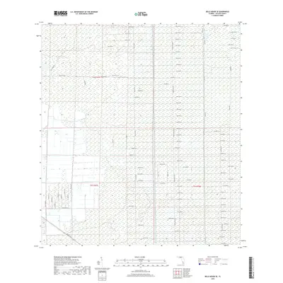
2018 Map of Belle Meade SE
USGS Topo · Published 2018About this map
Everglades wetlands and low-lying terrain dominate this part of Collier County, where a rigid grid of numbered avenues and unpaved tracks defines the landscape. The layout, characterized by long, parallel roads like 62nd Ave SE and 112th Ave SE, suggests a period of planned rural development or large-lot subdivision within the Florida wilderness. North-south arterials such as Miller Blvd, Everglades Blvd S, and Desoto Blvd bisect the area, providing the primary access points through the marshy interior. Local landmarks include Stewart Blvd and Canal Rd, illustrating the essential role of drainage and water management in making this environment navigable. This map is particularly useful for understanding the exact placement of specific property lines and the extent of wetland areas as they appeared during the 2018 survey.
Find a feature on this map
63 named features on this map. Tap any name to fly to it.
Don’t see what you’re looking for? This feature index may not catch every label — zoom into the map to look around manually.
Map Details
Editions of this 2018 Belle Meade SE Map
This is the sole edition of this map. No revisions or reprints were ever made.
Other maps of this area

1956 · Miami
USGS Topo · 1:250,000

1956 · West Palm Beach
USGS Topo · 1:250,000

1957 · West Palm Beach
USGS Topo · 1:250,000

1958 · West Palm Beach
USGS Topo · 1:250,000

1958 · Miami
USGS Topo · 1:250,000

1958 · Belle Meade
USGS Topo · 1:24,000

1958 · Catherine Island
USGS Topo · 1:24,000

1958 · Belle Meade NE
USGS Topo · 1:24,000

1958 · Belle Meade NW
USGS Topo · 1:24,000

1958 · Belle Meade SE
USGS Topo · 1:24,000