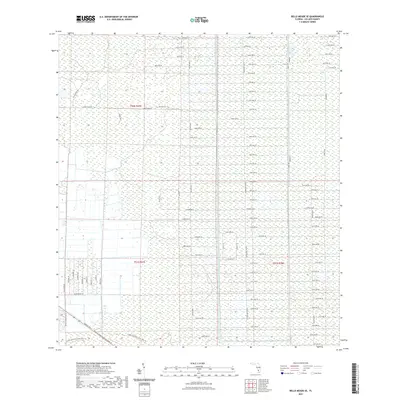
2021 Map of Belle Meade SE
USGS Topo · Published 2021About this map
Collier Seminole State Park Trl skirts the southern reaches of this landscape, marking a transition between the organized grid of the interior and the protected wetland environments of south Florida. The map reveals an extensive, systematic network of unpaved corridors and named avenues, such as Stewart Blvd and Miller Blvd, that define the region's unique spatial planning. While many of these paths, including Rifle Range Rd and Sabal Palm Rd, appear as straight-line cuts through the terrain, they represent the foundational infrastructure for land management and access in Collier County. This 2021 survey provides a clear view of the rural township and range system, specifically within t50s r27e, t51s r27e, and t51s r28e, showing how the land was partitioned before more intensive development reached these deeper inland sections.
Find a feature on this map
67 named features on this map. Tap any name to fly to it.
Don’t see what you’re looking for? This feature index may not catch every label — zoom into the map to look around manually.
Map Details
Editions of this 2021 Belle Meade SE Map
This is the sole edition of this map. No revisions or reprints were ever made.
Other maps of this area

1956 · Miami
USGS Topo · 1:250,000

1956 · West Palm Beach
USGS Topo · 1:250,000

1957 · West Palm Beach
USGS Topo · 1:250,000

1958 · West Palm Beach
USGS Topo · 1:250,000

1958 · Miami
USGS Topo · 1:250,000

1958 · Belle Meade
USGS Topo · 1:24,000

1958 · Catherine Island
USGS Topo · 1:24,000

1958 · Belle Meade NE
USGS Topo · 1:24,000

1958 · Belle Meade NW
USGS Topo · 1:24,000

1958 · Belle Meade SE
USGS Topo · 1:24,000