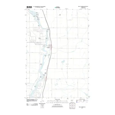
2010 Map of Belle Prairie
USGS Topo · Published 2010About this map
Belle Prairie and the surrounding Morrison County landscape are defined by the intricate braided channel of the Mississippi River as it flows south toward Little Falls. The river is dotted with a sequence of numerically named islands, from Island Thirtytwo in the north down to Island Fifty, alongside larger landforms like the Topeka Islands and Roscoe Island. This 2010 survey highlights the area's significance for regional veterans and local history, prominently featuring the Minnesota State Veterans Cemetery and the Holy Family Church Cemetery.
Find a feature on this map
62 named features on this map. Tap any name to fly to it.
Don’t see what you’re looking for? This feature index may not catch every label — zoom into the map to look around manually.
Map Details
Editions of this 2010 Belle Prairie Map
This is the sole edition of this map. No revisions or reprints were ever made.
Other maps of this area

1948 · Belle Prairie
USGS Topo · 1:62,500

1948 · Pierz
USGS Topo · 1:62,500

1948 · Lastrup
USGS Topo · 1:62,500

1948 · Little Falls
USGS Topo · 1:62,500

1950 · Lastrup
USGS Topo · 1:62,500

1950 · Belle Prairie
USGS Topo · 1:62,500

1950 · Little Falls
USGS Topo · 1:62,500

1950 · Pierz
USGS Topo · 1:62,500

1953 · Brainerd
USGS Topo · 1:250,000

1953 · Saint Cloud
USGS Topo · 1:250,000