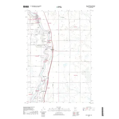
2019 Map of Belle Prairie
USGS Topo · Published 2019About this map
The Mississippi River carves a complex path through this portion of Morrison County, defining a landscape of numerous named islands and riparian bottomlands. North of Little Falls, the river is dotted with features like Roscoe Island, Ducette Island, and the Topeka Islands, reflecting the braided nature of the waterway before it reaches the more developed outskirts of town. On the eastern bank, the Holy Family Church Cem serves the community of Belle Prairie, while further north, the Minnesota State Veterans Cem is situated near Camp Ripley Junction.
Find a feature on this map
112 named features on this map. Tap any name to fly to it.
Don’t see what you’re looking for? This feature index may not catch every label — zoom into the map to look around manually.
Map Details
Editions of this 2019 Belle Prairie Map
This is the sole edition of this map. No revisions or reprints were ever made.
Other maps of this area

1948 · Belle Prairie
USGS Topo · 1:62,500

1948 · Pierz
USGS Topo · 1:62,500

1948 · Lastrup
USGS Topo · 1:62,500

1948 · Little Falls
USGS Topo · 1:62,500

1950 · Lastrup
USGS Topo · 1:62,500

1950 · Belle Prairie
USGS Topo · 1:62,500

1950 · Little Falls
USGS Topo · 1:62,500

1950 · Pierz
USGS Topo · 1:62,500

1953 · Brainerd
USGS Topo · 1:250,000

1953 · Saint Cloud
USGS Topo · 1:250,000