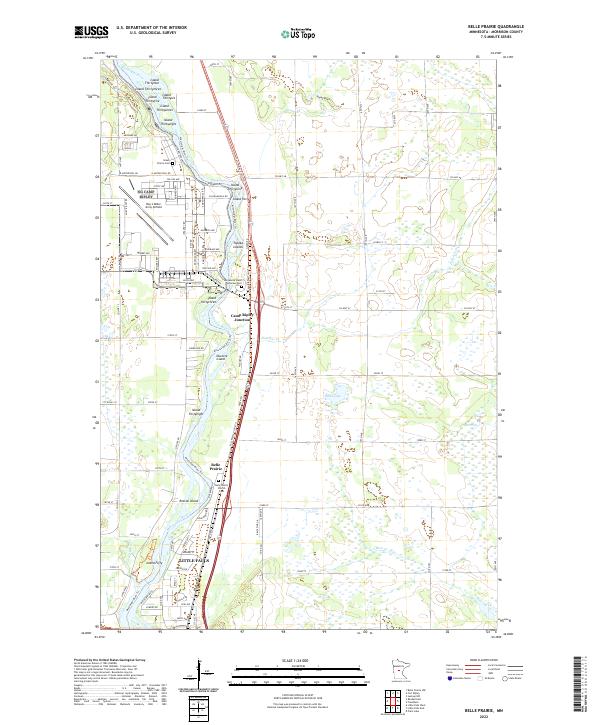
2022 Map of Belle Prairie
USGS Topo · Published 2022About this map
Mississippi River islands dominate the landscape north of Little Falls in this survey of Morrison County. The river corridor is dense with named features like Roscoe Island, Ducette Island, and the Topeka Islands, illustrating the complex hydrology of the region. Military and veteran presence is central to the area's identity, anchored by the Ray S Miller Army Airfield and the Minnesota State Veterans Cem near Camp Ripley Junction.
Find a feature on this map
80 named features on this map. Tap any name to fly to it.
Don’t see what you’re looking for? This feature index may not catch every label — zoom into the map to look around manually.
Map Details
Editions of this 2022 Belle Prairie Map
This is the sole edition of this map. No revisions or reprints were ever made.
Other maps of this area

1948 · Belle Prairie
USGS Topo · 1:62,500

1948 · Pierz
USGS Topo · 1:62,500

1948 · Lastrup
USGS Topo · 1:62,500

1948 · Little Falls
USGS Topo · 1:62,500

1950 · Lastrup
USGS Topo · 1:62,500

1950 · Belle Prairie
USGS Topo · 1:62,500

1950 · Little Falls
USGS Topo · 1:62,500

1950 · Pierz
USGS Topo · 1:62,500

1953 · Brainerd
USGS Topo · 1:250,000

1953 · Saint Cloud
USGS Topo · 1:250,000