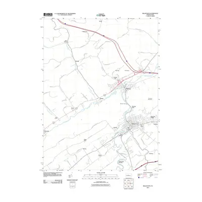
2010 Map of Bellefonte
USGS Topo · Published 2010About this map
Bellefonte serves as the focal point of this 2010 survey, showing the borough's dense street grid at the confluence of Spring Creek and Logan Branch. The landscape to the north and west is defined by the winding valley of Bald Eagle Creek, where the settlements of Milesburg and Wingate sit at key junctions. This map provides a modern look at the area's development, from the established neighborhoods of Bush Addition and Park View Heights to the specialized aviation footprint of the Bellefonte Skypark.
Find a feature on this map
81 named features on this map. Tap any name to fly to it.
Don’t see what you’re looking for? This feature index may not catch every label — zoom into the map to look around manually.
Map Details
Editions of this 2010 Bellefonte Map
This is the sole edition of this map. No revisions or reprints were ever made.
Other maps of this area
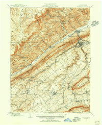
1908 · Bellefonte
USGS Topo · 1:62,500
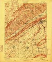
1909 · Bellefonte
USGS Topo · 1:62,500
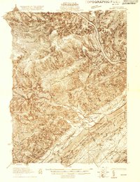
1921 · Howard
USGS Topo · 1:48,000
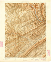
1923 · Howard
USGS Topo · 1:62,500
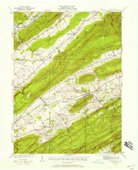
1924 · Centre Hall
USGS Topo · 1:62,500
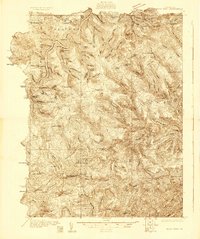
1928 · Snow Shoe
USGS Topo · 1:48,000
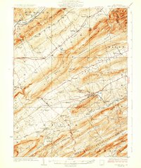
1929 · Centre Hall
USGS Topo · 1:62,500
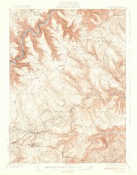
1931 · Show Shoe
USGS Topo · 1:62,500
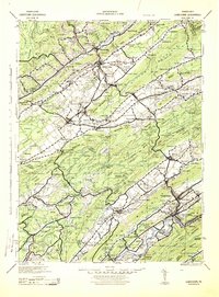
1943 · Lewistown
USGS Topo · 1:125,000

1950 · Harrisburg
USGS Topo · 1:250,000