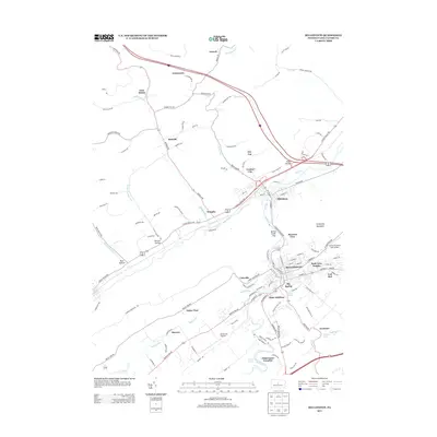
2013 Map of Bellefonte
USGS Topo · Published 2013About this map
The borough of Bellefonte serves as a focal point for this survey, situated at the confluence of several critical waterways and transport routes. This 2013 record illustrates the complex convergence of Spring Creek, Bald Eagle Creek, and Buffalo Run, highlighting the enduring importance of local water sources like Big Spring and Axemann Spring. The landscape transitions from the urban density of the county seat into specialized residential and industrial pockets such as Bush Addition, Coleville, and Park View Heights.
Find a feature on this map
131 named features on this map. Tap any name to fly to it.
Don’t see what you’re looking for? This feature index may not catch every label — zoom into the map to look around manually.
Map Details
Editions of this 2013 Bellefonte Map
This is the sole edition of this map. No revisions or reprints were ever made.
Other maps of this area

1908 · Bellefonte
USGS Topo · 1:62,500

1909 · Bellefonte
USGS Topo · 1:62,500

1921 · Howard
USGS Topo · 1:48,000

1923 · Howard
USGS Topo · 1:62,500

1924 · Centre Hall
USGS Topo · 1:62,500

1928 · Snow Shoe
USGS Topo · 1:48,000

1929 · Centre Hall
USGS Topo · 1:62,500

1931 · Show Shoe
USGS Topo · 1:62,500

1943 · Lewistown
USGS Topo · 1:125,000

1950 · Harrisburg
USGS Topo · 1:250,000