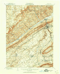
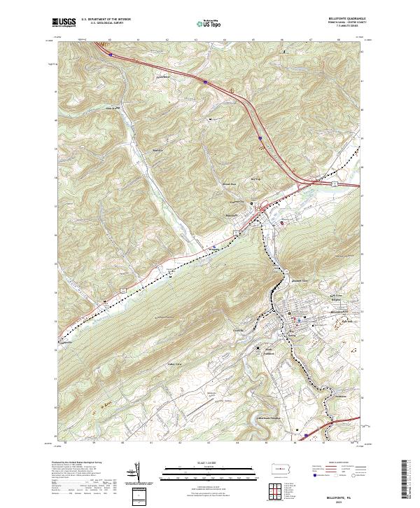
1908 Map of Bellefonte
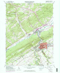
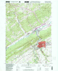
USGS Topo · Published 1960About this map
The ridge-and-valley landscape of Centre County is defined by the sharp parallel lines of Bald Eagle Mountain and the Allegheny Front. At the heart of the valley, the industrial and educational center of State College sits south of Bellefonte, the county seat. The era's transportation network is remarkably dense, featuring three major rail lines: the Pennsylvania RR, the Bellefonte Central RR, and the Lewisburg and Tyrone RR. These railroads connect numerous small company towns and post offices such as Scotia Benore PO, Unionville Fleming PO, and Snowshoe Intersection Wingate PO. Higher in the mountains, a tramroad and various mountain gaps like Grindstone Gap suggest an economy still tied to timber and resource extraction. Significant local institutions, including the Fish Hatchery near Pleasant Gap Sta and several rural schools like Bellegrove School, highlight the established social fabric of these valley communities.
Find a feature on this map
90 named features on this map. Tap any name to fly to it.
Don’t see what you’re looking for? This feature index may not catch every label — zoom into the map to look around manually.
Map Details
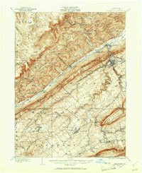
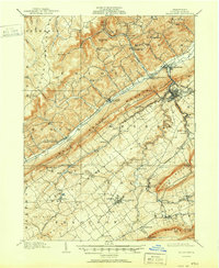
Editions of this 1908 Bellefonte Map
3 editions found

Historical Maps of State College Through Time
6 maps found
Featured Locations
- Bellefonte, PA
- State College, PA
- Houserville, College Township
- Pleasant Gap, Spring Township
- Boalsburg, Harris Township