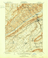
1909 Map of Bellefonte
USGS Topo · Published 1951About this map
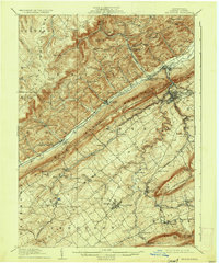
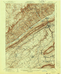
Pennsylvania State College sits at the heart of this early 20th-century landscape, surrounded by the agricultural and industrial networks of Centre County. The town of Bellefonte serves as a regional hub, connected by the Pennsylvania and Lewisburg and Bellefonte railroads. This era is defined by the ridge-and-valley topography, where Bald Eagle Mountain and Nittany Mountain separate fertile valleys from the timbered heights of the Snow Shoe Mountains. Along Bald Eagle Creek, small post offices like Wingate PO and Unionville Fleming PO mark the importance of rural mail routes. In the more isolated highlands, a Tramroad and features like Bear Rocks indicate the extraction of natural resources. Local community life is anchored by numerous institutions, including the Bellegrove School, Silverdale School, and the Advent Church, providing a clear record of settlement patterns before the mid-century expansion of State College.
Find a feature on this map
86 named features on this map. Tap any name to fly to it.
Don’t see what you’re looking for? This feature index may not catch every label — zoom into the map to look around manually.
Map Details
Editions of this 1909 Bellefonte Map
7 editions found
Other maps of this area

1908 · Bellefonte
USGS Topo · 1:62,500

1909 · Bellefonte
USGS Topo · 1:62,500

1919 · Menno
USGS Topo · 1:62,500

1921 · Howard
USGS Topo · 1:48,000

1922 · Philipsburg
USGS Topo · 1:62,500

1923 · Howard
USGS Topo · 1:62,500

1923 · Tyrone
USGS Topo · 1:62,500

1924 · Centre Hall
USGS Topo · 1:62,500

1924 · Lewistown
USGS Topo · 1:62,500

1927 · Lewisburg
USGS Topo · 1:62,500