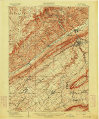
1909 Map of Bellefonte
USGS Topo · Published 1914About this map
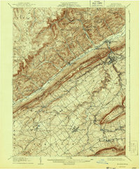
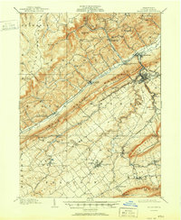
Bellefonte and the emerging campus of Pennsylvania State College anchor this turn-of-the-century portrait of Centre County. The landscape is defined by the sharp parallel lines of Bald Eagle Ridge and Mount Nittany, which funnel settlement into the Nittany Valley. This era shows a complex network of industrial transport, with the Pennsylvania, Bellefonte Central, and Lewisburg and Tyrone railroads connecting iron-mining outposts like Scotia Benore PO to the regional hubs.
Find a feature on this map
82 named features on this map. Tap any name to fly to it.
Don’t see what you’re looking for? This feature index may not catch every label — zoom into the map to look around manually.
Map Details
Editions of this 1909 Bellefonte Map
7 editions found
Other maps of this area

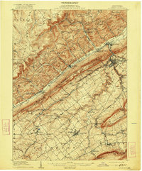
1908 · Bellefonte
USGS Topo · 1:62,500

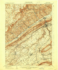
1909 · Bellefonte
USGS Topo · 1:62,500

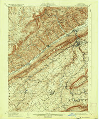
1919 · Menno
USGS Topo · 1:62,500

1921 · Howard
USGS Topo · 1:48,000

1922 · Philipsburg
USGS Topo · 1:62,500

1923 · Howard
USGS Topo · 1:62,500

1923 · Tyrone
USGS Topo · 1:62,500

1924 · Centre Hall
USGS Topo · 1:62,500

1924 · Lewistown
USGS Topo · 1:62,500

1927 · Lewisburg
USGS Topo · 1:62,500