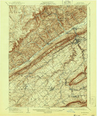
1909 Map of Bellefonte
USGS Topo · Published 1943About this map
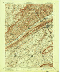
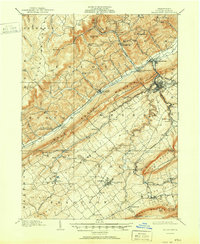
Pennsylvania State College and the surrounding agricultural valleys of Central Pennsylvania are shown here during a period of significant growth and industrial activity. The landscape is defined by the striking parallel ridges of Bald Eagle Mountain and Nittany Mountain, which constrain the development of the Nittany Valley. This early twentieth-century survey reveals a dense network of transportation, including the Pennsylvania RR and the Bellefonte Central RR, alongside the remnants of the Pennsylvania Canal near Milesburg.
Find a feature on this map
86 named features on this map. Tap any name to fly to it.
Don’t see what you’re looking for? This feature index may not catch every label — zoom into the map to look around manually.
Map Details
Editions of this 1909 Bellefonte Map
7 editions found
Other maps of this area

1908 · Bellefonte
USGS Topo · 1:62,500

1909 · Bellefonte
USGS Topo · 1:62,500

1919 · Menno
USGS Topo · 1:62,500

1921 · Howard
USGS Topo · 1:48,000

1922 · Philipsburg
USGS Topo · 1:62,500

1923 · Howard
USGS Topo · 1:62,500

1923 · Tyrone
USGS Topo · 1:62,500

1924 · Centre Hall
USGS Topo · 1:62,500

1924 · Lewistown
USGS Topo · 1:62,500

1927 · Lewisburg
USGS Topo · 1:62,500