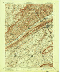
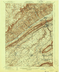
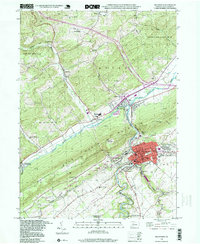
1909 Map of Bellefonte
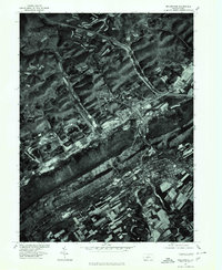
USGS Topo · Published 1937About this map
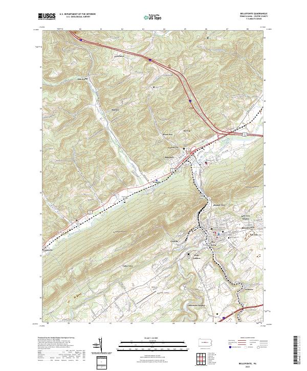
Pennsylvania State College serves as a prominent landmark in this Central Pennsylvania landscape, which is defined by the striking ridge-and-valley formations of Bald Eagle Mountain and Nittany Mountain. The area is a dense network of early 20th-century transportation, featuring the Pennsylvania Canal and numerous rail lines including the Bellefonte Central RR and Beech Creek RR. Settlement patterns follow the fertile valleys, with the industrial hub of Bellefonte and the village of Milesburg positioned where Bald Eagle Creek and Spring Creek meet. Local life is further evidenced by a high density of rural institutions, such as Bellegrove School and Advent Church, alongside industrial markers like the Tramroad in the northern ridges and the Fish Hatchery near Pleasant Gap Sta. The geography transitions from the inhabited Nittany Valley into the more secluded timber and mining country of the Allegheny Mountains.
Find a feature on this map
93 named features on this map. Tap any name to fly to it.
Don’t see what you’re looking for? This feature index may not catch every label — zoom into the map to look around manually.
Map Details
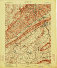
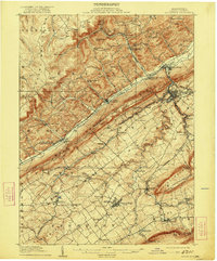
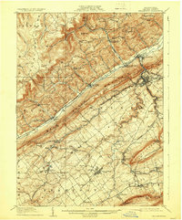
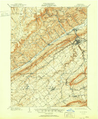
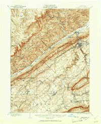
Editions of this 1909 Bellefonte Map
7 editions found

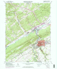
Historical Maps of State College Through Time
6 maps found
Featured Locations
- Bellefonte, PA
- State College, PA
- Houserville, College Township
- Pleasant Gap, Spring Township
- Boalsburg, Harris Township