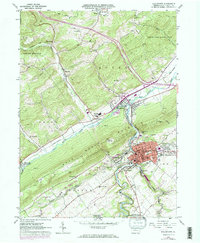
1962 Map of Bellefonte
USGS Topo · Published 1973About this map
Bellefonte serves as the industrial and civic heart of this Central Pennsylvania corridor during the early 1960s, its dense street grid punctuated by the County Hospital, the Armory, and several Quarries. The landscape is defined by the sharp ridge of Bald Eagle Mountain, which separates the limestone-rich valley floor from the complex hydrology of Spring Creek and the Bald Eagle Creek. Local industry and conservation efforts coexist, evidenced by the proximity of Strip Mines and Shale Pits to the Fish Hatchery and the recreationally named Fishermans Paradise.
Find a feature on this map
70 named features on this map. Tap any name to fly to it.
Don’t see what you’re looking for? This feature index may not catch every label — zoom into the map to look around manually.
Map Details
Editions of this 1962 Bellefonte Map
2 editions found
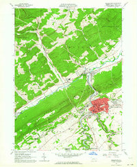
Other maps of this area

1908 · Bellefonte
USGS Topo · 1:62,500

1909 · Bellefonte
USGS Topo · 1:62,500

1921 · Howard
USGS Topo · 1:48,000

1923 · Howard
USGS Topo · 1:62,500

1924 · Centre Hall
USGS Topo · 1:62,500

1928 · Snow Shoe
USGS Topo · 1:48,000

1929 · Centre Hall
USGS Topo · 1:62,500

1931 · Show Shoe
USGS Topo · 1:62,500

1943 · Lewistown
USGS Topo · 1:125,000

1950 · Harrisburg
USGS Topo · 1:250,000