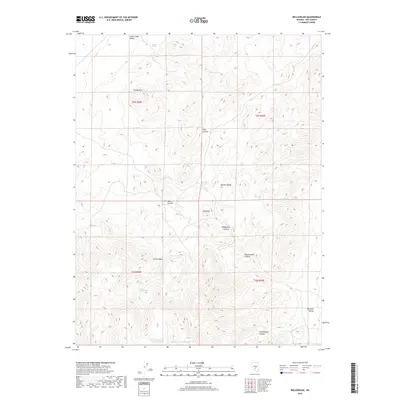
2018 Map of Bellehelen
USGS Topo · Published 2018About this map
Stone Cabin Valley and the Kawich Range dominate this high-desert landscape in central Nevada, where water sources dictated the movement of early explorers and prospectors. Numerous vital water points are identified across the arid terrain, including Clifford Spring in the north and the cluster of Jackson Falls and Jackson Falls Spring to the south. These features highlight the critical nature of hydrology in a region defined by stark elevations, such as the prominent Castle Rock and the high point at Squawtip. To the southeast, the topography descends toward Reveille Valley, while the seasonal basins of Bellehelen Lake Number One and Bellehelen Lake Number Two collect runoff in the valley floor. The map also records numerous drainages like Cow Canyon and Neversweat Canyon, which channel water from the mountain heights during rare storms.
Find a feature on this map
23 named features on this map. Tap any name to fly to it.
Don’t see what you’re looking for? This feature index may not catch every label — zoom into the map to look around manually.
Map Details
Editions of this 2018 Bellehelen Map
This is the sole edition of this map. No revisions or reprints were ever made.
Other maps of this area

1908 · Kawich
USGS Topo · 1:250,000

1942 · Cactus Range
USGS Topo · 1:125,000

1942 · Reveille Peak
USGS Topo · 1:125,000

1952 · Stinking Spring
USGS Topo · 1:62,500

1952 · Kawich Peak
USGS Topo · 1:62,500

1954 · Goldfield
USGS Topo · 1:250,000

1955 · Goldfield
USGS Topo · 1:250,000

1956 · Tonopah
USGS Topo · 1:250,000

1958 · Goldfield
USGS Topo · 1:250,000

1959 · Tonopah
USGS Topo · 1:250,000